Jumla night lights from space
Night Light of Jumla (Karnali Pradesh) from space (Nepal) Src. Average luminocity for 10x10km area is 0% and for 50x50km: 0.0001%.
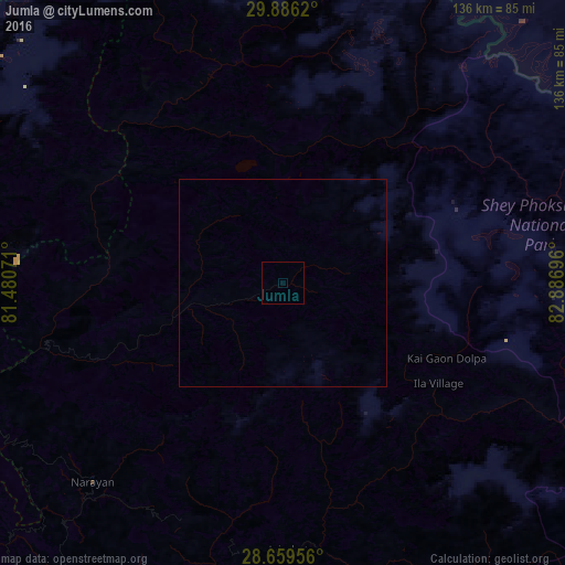
Analysis of Jumla night lights 2016
Square area 10x10 km:
 0%
0%90-99
0%80-89
0%70-79
0%60-69
0%50-59
0%40-49
0%30-39
0%20-29
0%10-19
0%0-9
100%Square area 50x50 km:
0%90-99
0%80-89
0%70-79
0%60-69
0%50-59
0%40-49
0%30-39
0%20-29
0%10-19
0%0-9
100%Clear (daylight) street map image can be seen on geolist.org.
Map coordinates:
29° 53' 10.3" North, 81° 28' 50.6" East
29° 16' 29" North, 82° 11' 1.8" East
28° 39' 34.4" North, 82° 53' 13.1" East
Some cities around Jumla sort by population:
• Nepalgunj
147 km =91.3 mi,  202°
202°
• Gulariyā
144.3 km =89.7 mi,  214°
214°
• Ṭikāpur
132.9 km =82.6 mi,  231°
231°
• Tulsīpur
127.7 km =79.3 mi,  175°
175°
• Birendranagar
92 km =57.2 mi,  215°
215°
• Dipayal
120.7 km =75 mi,  269°
269°
• Dailekh
66.4 km =41.3 mi, 223°
• Besisahar
117.8 km =73.2 mi,  169°
169°
1283285 (p: 9,073)
Sources (retrieved 2019-11-25):
» Earth at Night: Flat Maps 2012, 2016