Dipayal night lights from space
Night Light of Dipayal (Sudurpashchim Pradesh) from space (Nepal) Src. Average luminocity for 10x10km area is 0.9564% and for 50x50km: 0.0384%.
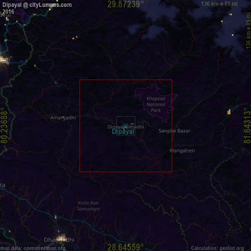
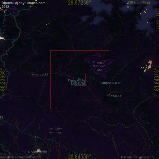
Analysis of Dipayal night lights 2016
Square area 10x10 km:
 0%
0%90-99
0%80-89
0%70-79
0%60-69
0%50-59
0%40-49
0%30-39
1.33%20-29
1.7%10-19
0%0-9
96.97%Square area 50x50 km:
0%90-99
0%80-89
0%70-79
0%60-69
0%50-59
0%40-49
0%30-39
0.05%20-29
0.07%10-19
0%0-9
99.88%Clear (daylight) street map image can be seen on geolist.org.
Map coordinates:
29° 52' 20.6" North, 80° 14' 12.8" East
29° 15' 39" North, 80° 56' 24" East
28° 38' 44.1" North, 81° 38' 35.3" East
Some cities around Dipayal sort by population:
• Dhangaḍhi̇̄
70.9 km =44.1 mi,  208°
208°
• Mahendranagar
81.1 km =50.4 mi,  245°
245°
• Pithorāgarh, IN
79.3 km =49.3 mi,  296°
296°
• Ṭikāpur
83.3 km =51.8 mi,  167°
167°
• Dadeldhurā
35.1 km =21.8 mi,  276°
276°
• Dārchulā
73.7 km =45.8 mi,  329°
329°
• Tanakpur, IN
83.1 km =51.6 mi,  255°
255°
• Dhārchula, IN
76.8 km =47.7 mi, 328°
6254845 (p: 23,416)
Sources (retrieved 2019-11-25):
» Earth at Night: Flat Maps 2012, 2016