Dārchulā night lights from space
Night Light of Dārchulā (Sudurpashchim Pradesh) from space (Nepal) Src. Average luminocity for 10x10km area is 6.4028% and for 50x50km: 0.3688%.
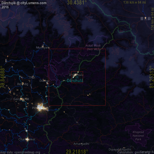
Analysis of Dārchulā night lights 2016
Square area 10x10 km:
 0.79%
0.79%90-99
2.38%80-89
0%70-79
0%60-69
1.59%50-59
0.79%40-49
1.19%30-39
1.19%20-29
0%10-19
0.2%0-9
91.87%Square area 50x50 km:
0.03%90-99
0.09%80-89
0.02%70-79
0.01%60-69
0.09%50-59
0.03%40-49
0.07%30-39
0.13%20-29
0%10-19
0.04%0-9
99.49%Clear (daylight) street map image can be seen on geolist.org.
Map coordinates:
30° 26' 17.2" North, 79° 50' 48.8" East
29° 49' 48" North, 80° 33' 0" East
29° 13' 5.4" North, 81° 15' 11.3" East
Some cities around Dārchulā sort by population:
• Pithorāgarh, IN
42.8 km =26.6 mi,  230°
230°
• Almora, IN
89.8 km =55.8 mi,  253°
253°
• Dipayal
73.7 km =45.8 mi,  149°
149°
• Dadeldhurā
59.2 km =36.8 mi,  177°
177°
• Bāgeshwar, IN
75.1 km =46.7 mi,  270°
270°
• Dhārchula, IN
3.5 km =2.2 mi,  302°
302°
• Lohaghāt, IN
65 km =40.4 mi,  223°
223°
• Burang, CN
79.4 km =49.3 mi,  49°
49°
1283484 (p: 18,317)
Sources (retrieved 2019-11-25):
» Earth at Night: Flat Maps 2012, 2016