Dadeldhurā night lights from space
Night Light of Dadeldhurā (Sudurpashchim Pradesh) from space (Nepal) Src. Average luminocity for 10x10km area is 0.2614% and for 50x50km: 0.0154%.
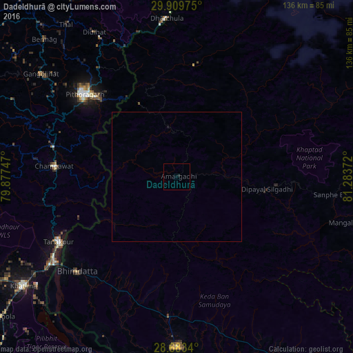
Analysis of Dadeldhurā night lights 2016
Square area 10x10 km:
 0%
0%90-99
0%80-89
0%70-79
0%60-69
0%50-59
0%40-49
0%30-39
0%20-29
0.76%10-19
0%0-9
99.24%Square area 50x50 km:
0%90-99
0%80-89
0%70-79
0%60-69
0%50-59
0%40-49
0%30-39
0%20-29
0.03%10-19
0.03%0-9
99.94%Clear (daylight) street map image can be seen on geolist.org.
Map coordinates:
29° 54' 35.1" North, 79° 52' 38.9" East
29° 17' 54.3" North, 80° 34' 50.1" East
28° 41' 0.2" North, 81° 17' 1.4" East
Some cities around Dadeldhurā sort by population:
• Mahendranagar
54 km =33.6 mi,  226°
226°
• Pithorāgarh, IN
47.9 km =29.8 mi,  311°
311°
• Dipayal
35.1 km =21.8 mi,  96°
96°
• Dārchulā
59.2 km =36.8 mi,  357°
357°
• Tanakpur, IN
51.9 km =32.2 mi,  241°
241°
• Dhārchula, IN
61.3 km =38.1 mi,  354°
354°
• Banbasa, IN
59.7 km =37.1 mi, 235°
• Lohaghāt, IN
49 km =30.4 mi,  283°
283°
1283499 (p: 19,014)
Sources (retrieved 2019-11-25):
» Earth at Night: Flat Maps 2012, 2016