Dhārchula night lights from space
Night Light of Dhārchula (Uttarakhand) from space (India) Src. Average luminocity for 10x10km area is 6.5476% and for 50x50km: 0.4967%.
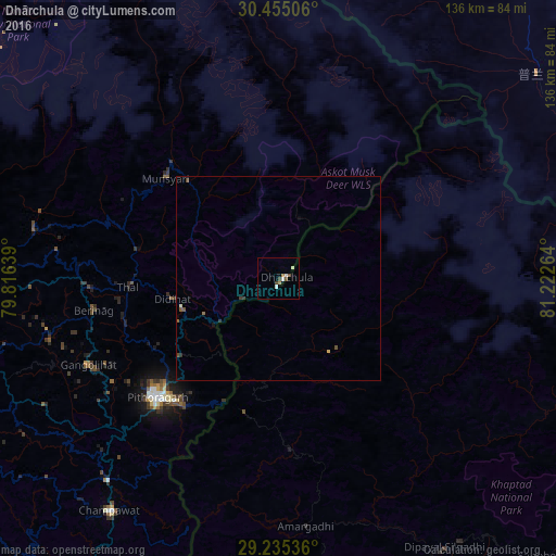
Analysis of Dhārchula night lights 2016
Square area 10x10 km:
 0.79%
0.79%90-99
2.38%80-89
0%70-79
0%60-69
1.59%50-59
0.79%40-49
1.19%30-39
1.19%20-29
0%10-19
0.2%0-9
91.87%Square area 50x50 km:
0.03%90-99
0.09%80-89
0.05%70-79
0.01%60-69
0.09%50-59
0.1%40-49
0.15%30-39
0.14%20-29
0.03%10-19
0.04%0-9
99.27%Clear (daylight) street map image can be seen on geolist.org.
Map coordinates:
30° 27' 18.2" North, 79° 48' 59" East
29° 50' 49.5" North, 80° 31' 10.2" East
29° 14' 7.3" North, 81° 13' 21.5" East
Some cities around Dhārchula sort by population:
• Pithorāgarh
41.9 km =26 mi,  225°
225°
• Almora
87.6 km =54.4 mi,  251°
251°
• Dipayal, NP
76.8 km =47.7 mi,  148°
148°
• Dadeldhurā, NP
61.3 km =38.1 mi,  174°
174°
• Dārchulā, NP
3.5 km =2.2 mi,  122°
122°
• Bāgeshwar
72.1 km =44.8 mi,  269°
269°
• Lohaghāt
64.5 km =40.1 mi,  220°
220°
• Burang, CN
80.4 km =50 mi,  51°
51°
1272864 (p: 7,331)
Sources (retrieved 2019-11-25):
» Earth at Night: Flat Maps 2012, 2016