Burang night lights from space
Night Light of Burang (Tibet) from space (China) Src. Average luminocity for 10x10km area is 1.0678% and for 50x50km: 0.0432%.
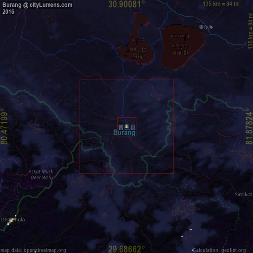
Analysis of Burang night lights 2016
Square area 10x10 km:
 0%
0%90-99
0%80-89
0%70-79
0%60-69
1.47%50-59
0%40-49
0%30-39
0%20-29
0%10-19
0%0-9
98.53%Square area 50x50 km:
0%90-99
0%80-89
0%70-79
0%60-69
0.06%50-59
0%40-49
0%30-39
0%20-29
0%10-19
0%0-9
99.94%Clear (daylight) street map image can be seen on geolist.org.
Map coordinates:
30° 54' 2.9" North, 80° 28' 19.2" East
30° 17' 44.1" North, 81° 10' 30.4" East
29° 41' 11.8" North, 81° 52' 41.7" East
Some cities around Burang sort by population:
• Pithorāgarh, IN
122.2 km =75.9 mi,  229°
229°
• Dipayal, NP
117.3 km =72.9 mi,  191°
191°
• Dadeldhurā, NP
124.8 km =77.5 mi,  207°
207°
• Dārchulā, NP
79.4 km =49.3 mi, 229°
• Jumla, NP
149.5 km =92.9 mi,  139°
139°
• Bāgeshwar, IN
144.3 km =89.7 mi,  249°
249°
• Dhārchula, IN
80.4 km =50 mi, 231°
• Lohaghāt, IN
144.2 km =89.6 mi, 226°
1281593 (p: 5,026)
Sources (retrieved 2019-11-25):
» Earth at Night: Flat Maps 2012, 2016