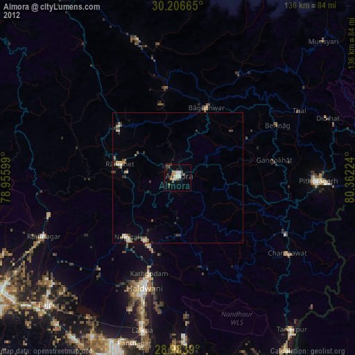
Almora night lights from space
Night Light of Almora (Uttarakhand) from space (India) Src. Average luminocity for 10x10km area is 24.996% and for 50x50km: 3.2349%.
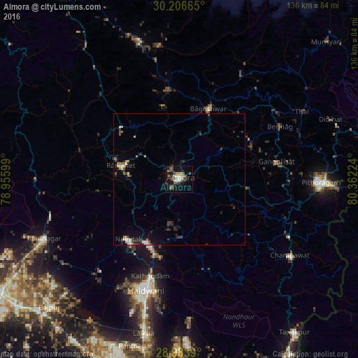
Analysis of Almora night lights 2016
Square area 10x10 km:
 1.59%
1.59%90-99
3.97%80-89
3.37%70-79
2.98%60-69
0.79%50-59
6.55%40-49
6.55%30-39
4.17%20-29
4.76%10-19
19.25%0-9
46.03%Square area 50x50 km:
0.25%90-99
0.41%80-89
0.38%70-79
0.29%60-69
0.25%50-59
0.48%40-49
0.6%30-39
0.66%20-29
1.08%10-19
1.96%0-9
93.63%Clear (daylight) street map image can be seen on geolist.org.
Map coordinates:
30° 12' 23.9" North, 78° 57' 21.6" East
29° 35' 49.7" North, 79° 39' 32.8" East
28° 59' 2" North, 80° 21' 44.1" East
Some cities around Almora sort by population:
• Haldwani
43.5 km =27 mi,  196°
196°
• Naini Tāl
30.2 km =18.8 mi,  222°
222°
• Rānikhet
22.5 km =14 mi,  282°
282°
• Bāgeshwar
28.8 km =17.9 mi,  22°
22°
• Kālādhūngi
45.9 km =28.5 mi, 220°
• Lohaghāt
46.9 km =29.1 mi,  117°
117°
• Bhīm Tāl
29.6 km =18.4 mi, 198°
• Bhowali
27.5 km =17.1 mi,  212°
212°
1278974 (p: 32,442)
Sources (retrieved 2019-11-25):
» Earth at Night: Flat Maps 2012, 2016