Haugesund night lights from space
Night Light of Haugesund (Rogaland) from space (Norway) Src. Average luminocity for 10x10km area is 39.2511% and for 50x50km: 4.1488%.
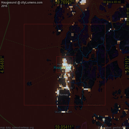
Analysis of Haugesund night lights 2016
Square area 10x10 km:
 12.34%
90-99
9.31%80-89
3.57%70-79
2.71%60-69
4.22%50-59
1.95%40-49
0.54%30-39
3.68%20-29
13.42%10-19
23.7%0-9
24.57%Square area 50x50 km:
0.76%90-99
0.81%80-89
0.32%70-79
0.27%60-69
0.59%50-59
0.56%40-49
0.38%30-39
0.42%20-29
1.25%10-19
3.38%0-9
91.26%Clear (daylight) street map image can be seen on geolist.org.
Map coordinates:
59° 46' 10.8" North, 4° 33' 53.6" East
59° 24' 49.6" North, 5° 16' 4.8" East
59° 3' 14.8" North, 5° 58' 16.1" East
Some cities around Haugesund sort by population:
• Stavanger
56 km =34.8 mi,  151°
151°
• Leirvik
42.7 km =26.5 mi,  17°
17°
• Sæveland
16.8 km =10.4 mi,  193°
193°
• Kopervik
14.6 km =9.1 mi,  171°
171°
• Tananger
55.9 km =34.7 mi,  161°
161°
• Hommersåk
63.6 km =39.5 mi, 148°
• Jørpeland
61.9 km =38.5 mi,  134°
134°
• Åkrehamn
17.6 km =10.9 mi,  195°
195°
3153623 (p: 40,321)
Sources (retrieved 2019-11-25):
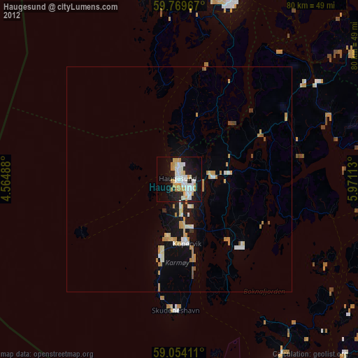
» Earth at Night: Flat Maps 2012, 2016