Florø night lights from space
Night Light of Florø (Sogn og Fjordane) from space (Norway) Src. Average luminocity for 10x10km area is 20.0352% and for 50x50km: 1.2266%.
Analysis of Florø night lights 2016
Square area 10x10 km:
 4.14%
4.14%90-99
3.21%80-89
1.35%70-79
1.35%60-69
2.59%50-59
3.52%40-49
3.11%30-39
0.41%20-29
0.83%10-19
23.6%0-9
55.9%Square area 50x50 km:
0.18%90-99
0.14%80-89
0.06%70-79
0.08%60-69
0.17%50-59
0.26%40-49
0.37%30-39
0.16%20-29
0.08%10-19
0.92%0-9
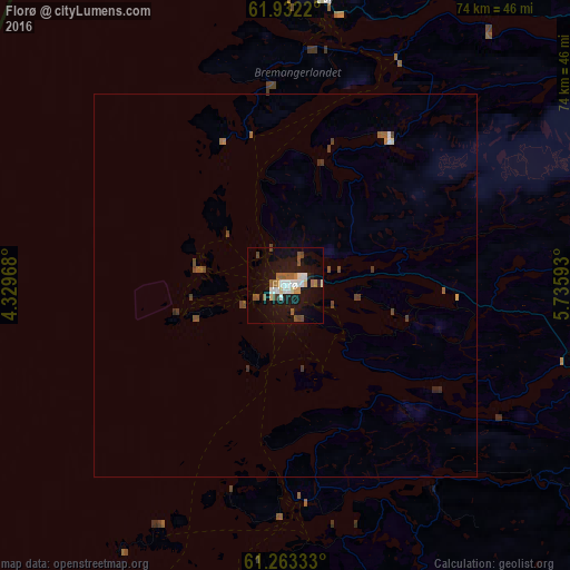
97.57%Clear (daylight) street map image can be seen on geolist.org.
Map coordinates:
61° 55' 55.9" North, 4° 19' 46.8" East
61° 35' 58.5" North, 5° 1' 58.1" East
61° 15' 48" North, 5° 44' 9.3" East
Some cities around Florø sort by population:
• Ålesund
113.3 km =70.4 mi,  31°
31°
• Førde
46.7 km =29 mi,  110°
110°
• Sogndal
117.3 km =72.9 mi, 110°
• Ørsta
88 km =54.7 mi,  40°
40°
• Voss
131 km =81.4 mi,  145°
145°
• Volda
81.6 km =50.7 mi, 41°
• Ulsteinvik
93 km =57.8 mi, 27°
• Hermansverk
107.2 km =66.6 mi,  115°
115°
3156980 (p: 8,230)
Sources (retrieved 2019-11-25):
» Earth at Night: Flat Maps 2012, 2016