Waalwijk night lights from space
Night Light of Waalwijk (North Brabant) from space (Netherlands) Src. Average luminocity for 10x10km area is 40.6415% and for 50x50km: 26.553%.
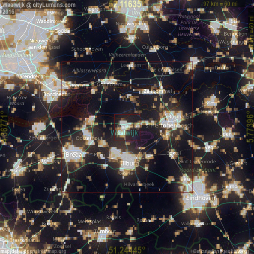
Analysis of Waalwijk night lights 2016
Square area 10x10 km:
 7.28%
7.28%90-99
10.78%80-89
3.22%70-79
3.08%60-69
4.76%50-59
2.38%40-49
3.78%30-39
3.5%20-29
20.73%10-19
39.08%0-9
1.4%Square area 50x50 km:
4.53%90-99
5.11%80-89
2.31%70-79
2.3%60-69
2.35%50-59
2.86%40-49
3.11%30-39
4.24%20-29
10.09%10-19
25.12%0-9
37.97%Clear (daylight) street map image can be seen on geolist.org.
Map coordinates:
52° 6' 58.9" North, 4° 22' 3.8" East
51° 40' 57" North, 5° 4' 15" East
51° 14' 40" North, 5° 46' 26.3" East
Some cities around Waalwijk sort by population:
• Dongen
11 km =6.8 mi,  235°
235°
• Loon op Zand
6.1 km =3.8 mi,  177°
177°
• De Kruiskamp
13.2 km =8.2 mi,  81°
81°
• Udenhout
9.6 km =6 mi,  148°
148°
• Raamsdonksveer
13.7 km =8.5 mi,  276°
276°
• De Reit
13.7 km =8.5 mi,  186°
186°
• Aalburg
9.1 km =5.7 mi,  27°
27°
• Waspik
8.7 km =5.4 mi,  273°
273°
2745123 (p: 45,610)
Sources (retrieved 2019-11-25):
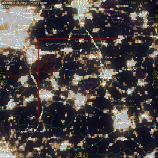
» Earth at Night: Flat Maps 2012, 2016