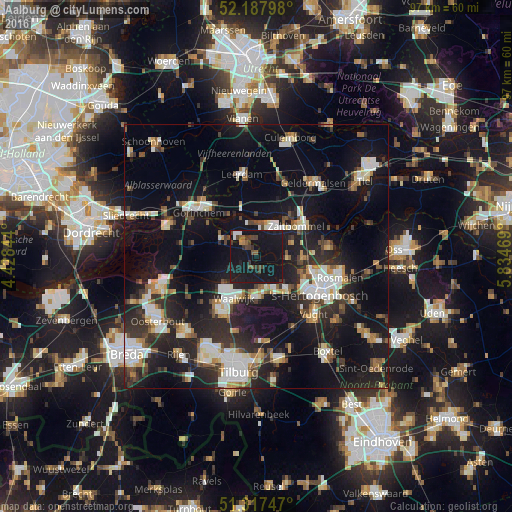
Aalburg night lights from space
Night Light of Aalburg (North Brabant) from space (Netherlands) Src. Average luminocity for 10x10km area is 19.3137% and for 50x50km: 24.5247%.
Analysis of Aalburg night lights 2016
Square area 10x10 km:
 1.4%
1.4%90-99
0.84%80-89
0%70-79
0.56%60-69
0.7%50-59
3.5%40-49
4.9%30-39
5.18%20-29
3.64%10-19
75.77%0-9
3.5%Square area 50x50 km:
3.83%90-99
4.5%80-89
2.08%70-79
2.15%60-69
2.2%50-59
2.79%40-49
3.07%30-39
3.97%20-29
8.6%10-19
24.66%0-9
42.15%Clear (daylight) street map image can be seen on geolist.org.
Map coordinates:
52° 11' 16.7" North, 4° 25' 42.4" East
51° 45' 17.4" North, 5° 7' 53.6" East
51° 19' 2.9" North, 5° 50' 4.9" East
Some cities around Aalburg sort by population:
• 's-Hertogenbosch
13.4 km =8.3 mi,  117°
117°
• Waalwijk
9.1 km =5.7 mi,  207°
207°
• Gorinchem
14.2 km =8.8 mi,  309°
309°
• Zaltbommel
9.9 km =6.2 mi,  51°
51°
• Loon op Zand
14.7 km =9.1 mi,  195°
195°
• Woudrichem
11.2 km =7 mi, 306°
• De Kruiskamp
10.8 km =6.7 mi, 124°
• Kerkdriel
14.1 km =8.8 mi,  82°
82°
2760144 (p: 5,788)
Sources (retrieved 2019-11-25):
» Earth at Night: Flat Maps 2012, 2016