Dongen night lights from space
Night Light of Dongen (North Brabant) from space (Netherlands) Src. Average luminocity for 10x10km area is 38.1337% and for 50x50km: 26.8708%.
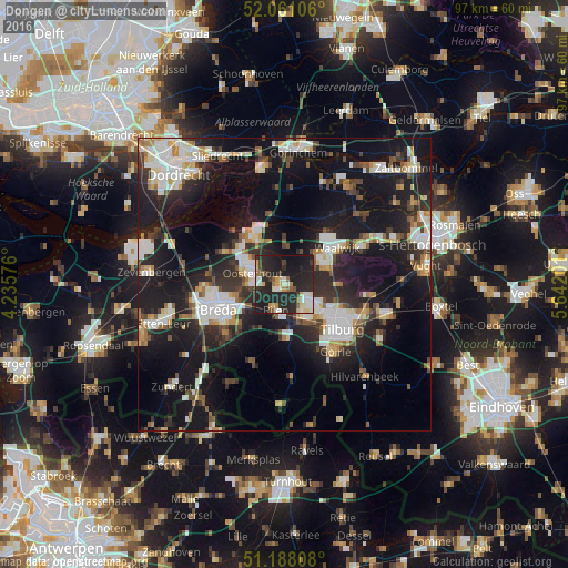
Analysis of Dongen night lights 2016
Square area 10x10 km:
 3.74%
3.74%90-99
8.56%80-89
4.81%70-79
4.14%60-69
2.41%50-59
3.61%40-49
2.94%30-39
3.74%20-29
36.76%10-19
28.34%0-9
0.94%Square area 50x50 km:
4.96%90-99
5.39%80-89
2.37%70-79
2.43%60-69
2.34%50-59
2.59%40-49
2.84%30-39
4.13%20-29
10.04%10-19
26.05%0-9
36.86%Clear (daylight) street map image can be seen on geolist.org.
Map coordinates:
52° 3' 39.8" North, 4° 14' 8.7" East
51° 37' 36" North, 4° 56' 20" East
51° 11' 17.1" North, 5° 38' 31.2" East
Some cities around Dongen sort by population:
• Oosterhout
5.8 km =3.6 mi,  290°
290°
• Loon op Zand
9.4 km =5.8 mi,  89°
89°
• Rijen
4.2 km =2.6 mi,  198°
198°
• Teteringen
8.4 km =5.2 mi,  256°
256°
• Raamsdonksveer
9 km =5.6 mi,  329°
329°
• Gilze
9.2 km =5.7 mi,  179°
179°
• Heusdenhout
9.3 km =5.8 mi,  242°
242°
• Waspik
6.7 km =4.2 mi,  3°
3°
2756723 (p: 25,464)
Sources (retrieved 2019-11-25):
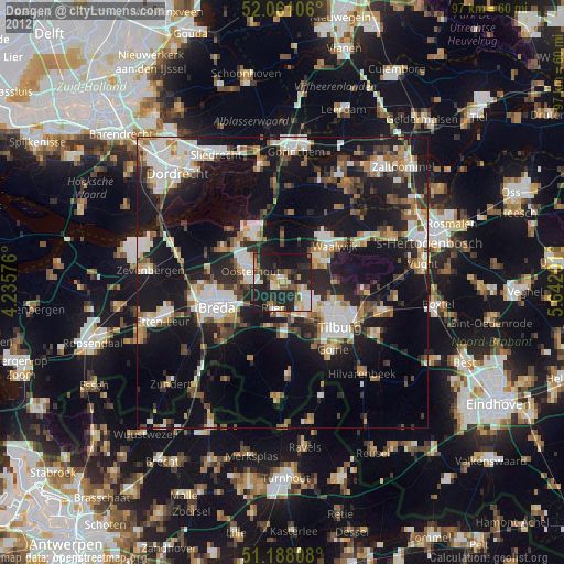
» Earth at Night: Flat Maps 2012, 2016