Tilburg night lights from space
Night Light of Tilburg (North Brabant) from space (Netherlands) Src. Average luminocity for 10x10km area is 61.5134% and for 50x50km: 25.3962%.
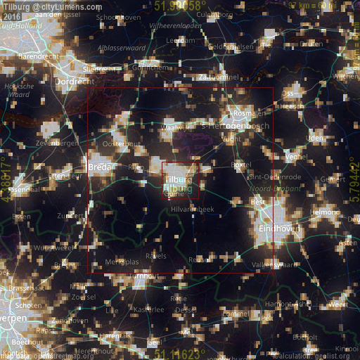
Analysis of Tilburg night lights 2016
Square area 10x10 km:
 18.58%
90-99
16.31%80-89
5.88%70-79
7.22%60-69
4.14%50-59
6.55%40-49
5.75%30-39
6.28%20-29
17.38%10-19
11.23%0-9
0.67%Square area 50x50 km:
4.41%90-99
4.86%80-89
2.21%70-79
2.44%60-69
2.31%50-59
2.76%40-49
2.76%30-39
4.3%20-29
10.05%10-19
22.26%0-9
41.64%Clear (daylight) street map image can be seen on geolist.org.
Map coordinates:
51° 59' 26.1" North, 4° 23' 17.4" East
51° 33' 19.8" North, 5° 5' 28.7" East
51° 6' 58.4" North, 5° 47' 39.9" East
Some cities around Tilburg sort by population:
• Oisterwijk
7.2 km =4.5 mi,  68°
68°
• Goirle
4.2 km =2.6 mi,  203°
203°
• Korvel
1.6 km =1 mi,  244°
244°
• Groenewoud
1.9 km =1.2 mi,  182°
182°
• Udenhout
7 km =4.3 mi,  30°
30°
• Broekhoven
0.8 km =0.5 mi, 177°
• De Reit
3 km =1.9 mi,  280°
280°
• De Blaak
3.4 km =2.1 mi,  252°
252°
2746301 (p: 199,613)
Sources (retrieved 2019-11-25):
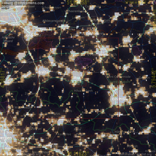
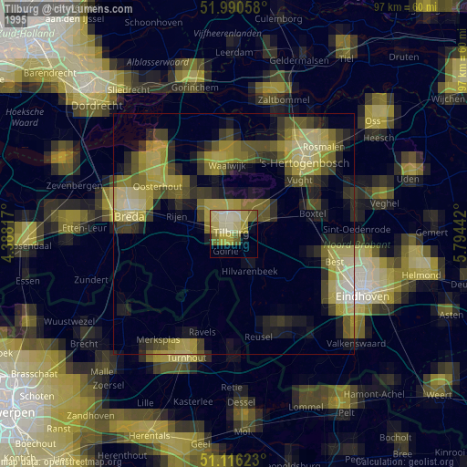
» NASA, Earths city lights 1995
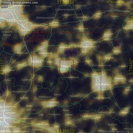
» NASA city lights 2003
» Earth at Night: Flat Maps 2012, 2016