Goirle night lights from space
Night Light of Goirle (North Brabant) from space (Netherlands) Src. Average luminocity for 10x10km area is 36.4693% and for 50x50km: 25.8476%.
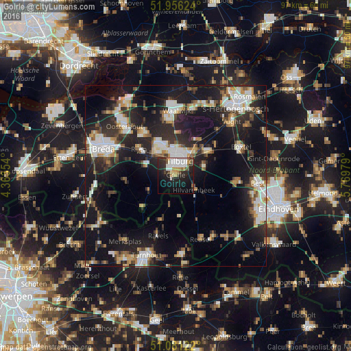
Analysis of Goirle night lights 2016
Square area 10x10 km:
 8.82%
8.82%90-99
7.89%80-89
2.01%70-79
4.68%60-69
1.74%50-59
3.88%40-49
3.48%30-39
4.01%20-29
17.65%10-19
23.13%0-9
22.73%Square area 50x50 km:
4.52%90-99
5.04%80-89
2.31%70-79
2.51%60-69
2.48%50-59
2.9%40-49
2.92%30-39
4.23%20-29
9.52%10-19
21.83%0-9
41.74%Clear (daylight) street map image can be seen on geolist.org.
Map coordinates:
51° 57' 22.5" North, 4° 21' 48.7" East
51° 31' 15" North, 5° 4' 0" East
51° 4' 52.4" North, 5° 46' 11.2" East
Some cities around Goirle sort by population:
• Tilburg
4.2 km =2.6 mi,  23°
23°
• Korvel
3.2 km =2 mi,  5°
5°
• Hilvarenbeek
6.3 km =3.9 mi,  128°
128°
• Groenewoud
2.6 km =1.6 mi,  39°
39°
• Broekhoven
3.5 km =2.2 mi,  29°
29°
• Gilze
9.1 km =5.7 mi,  286°
286°
• De Reit
4.6 km =2.9 mi,  344°
344°
• De Blaak
3.2 km =2 mi,  331°
331°
2755464 (p: 22,646)
Sources (retrieved 2019-11-25):
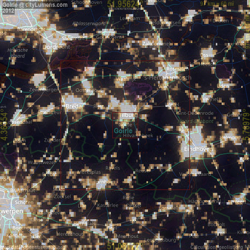
» Earth at Night: Flat Maps 2012, 2016