Oisterwijk night lights from space
Night Light of Oisterwijk (North Brabant) from space (Netherlands) Src. Average luminocity for 10x10km area is 26.1684% and for 50x50km: 27.4564%.
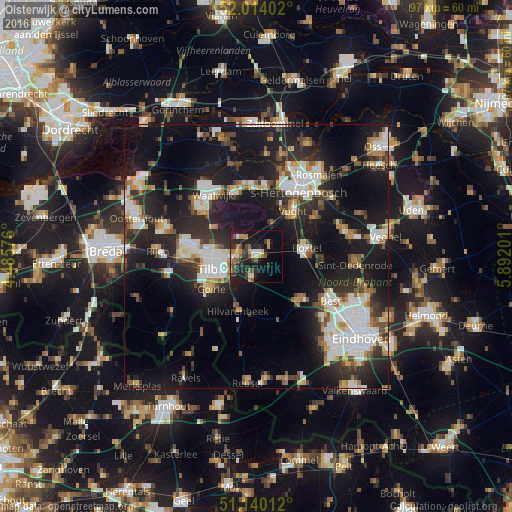
Analysis of Oisterwijk night lights 2016
Square area 10x10 km:
 1.6%
1.6%90-99
2.67%80-89
3.21%70-79
2.67%60-69
5.35%50-59
4.41%40-49
4.41%30-39
3.88%20-29
12.43%10-19
24.6%0-9
34.76%Square area 50x50 km:
5.04%90-99
5.52%80-89
2.37%70-79
2.63%60-69
2.6%50-59
3.1%40-49
3.02%30-39
4.05%20-29
9.95%10-19
23.72%0-9
37.98%Clear (daylight) street map image can be seen on geolist.org.
Map coordinates:
52° 0' 50.5" North, 4° 29' 8.7" East
51° 34' 45" North, 5° 11' 20" East
51° 8' 24.4" North, 5° 53' 31.2" East
Some cities around Oisterwijk sort by population:
• Tilburg
7.2 km =4.5 mi,  248°
248°
• Boxtel
9.8 km =6.1 mi,  82°
82°
• Loon op Zand
9.5 km =5.9 mi,  304°
304°
• Korvel
8.8 km =5.5 mi, 248°
• Groenewoud
8.2 km =5.1 mi,  236°
236°
• Udenhout
4.6 km =2.9 mi,  316°
316°
• Broekhoven
7.6 km =4.7 mi, 242°
• De Reit
9.9 km =6.2 mi,  257°
257°
2749680 (p: 25,980)
Sources (retrieved 2019-11-25):
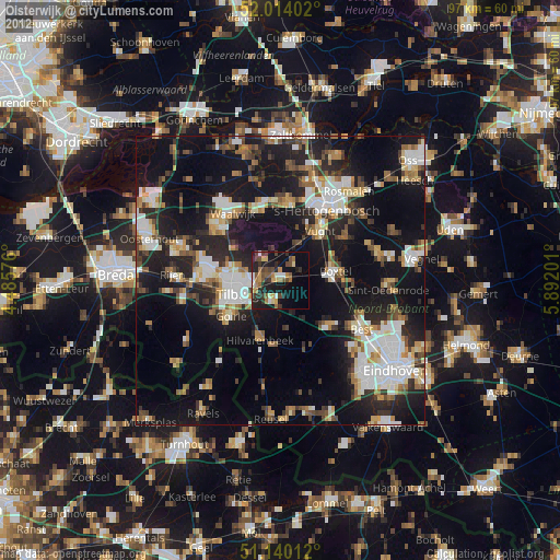
» Earth at Night: Flat Maps 2012, 2016