Cranendonck night lights from space
Night Light of Cranendonck (North Brabant) from space (Netherlands) Src. Average luminocity for 10x10km area is 9.7395% and for 50x50km: 19.7362%.
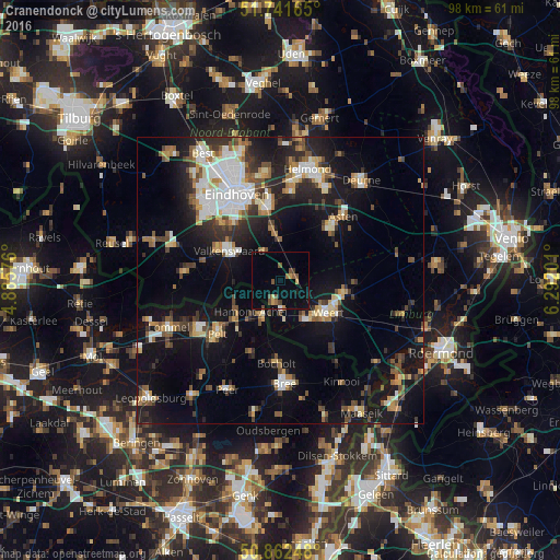
Analysis of Cranendonck night lights 2016
Square area 10x10 km:
 0.14%
0.14%90-99
0.14%80-89
1.12%70-79
1.4%60-69
0.56%50-59
3.64%40-49
2.24%30-39
0.56%20-29
0%10-19
3.78%0-9
86.41%Square area 50x50 km:
2.86%90-99
3.28%80-89
2.05%70-79
2.15%60-69
2.04%50-59
2.9%40-49
2.8%30-39
2.71%20-29
4.6%10-19
15.83%0-9
58.79%Clear (daylight) street map image can be seen on geolist.org.
Map coordinates:
51° 44' 29.9" North, 4° 53' 8.7" East
51° 18' 15" North, 5° 35' 20" East
50° 51' 44.9" North, 6° 17' 31.2" East
Some cities around Cranendonck sort by population:
• Weert
10.1 km =6.3 mi,  125°
125°
• Valkenswaard
10.4 km =6.5 mi,  300°
300°
• Neerpelt, BE
13.2 km =8.2 mi,  230°
230°
• Someren
12.4 km =7.7 mi,  43°
43°
• Heeze
8.8 km =5.5 mi,  352°
352°
• Budel
3.7 km =2.3 mi,  194°
194°
• Nederweert
11.3 km =7 mi,  100°
100°
• Coevering
12.6 km =7.8 mi,  355°
355°
2757890 (p: 19,966)
Sources (retrieved 2019-11-25):
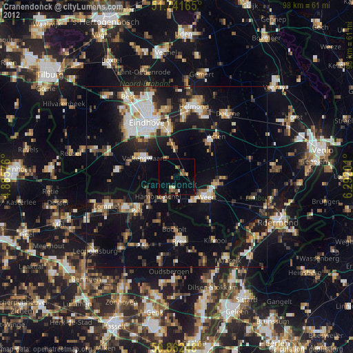
» Earth at Night: Flat Maps 2012, 2016