Weert night lights from space
Night Light of Weert (Limburg) from space (Netherlands) Src. Average luminocity for 10x10km area is 26.965% and for 50x50km: 19.1827%.
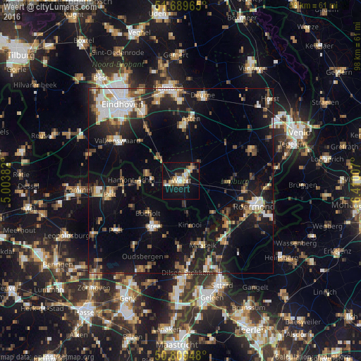
Analysis of Weert night lights 2016
Square area 10x10 km:
 2.1%
2.1%90-99
3.78%80-89
6.86%70-79
3.78%60-69
2.8%50-59
3.08%40-49
1.82%30-39
3.36%20-29
1.68%10-19
35.71%0-9
35.01%Square area 50x50 km:
2.52%90-99
3.02%80-89
1.98%70-79
2%60-69
2.17%50-59
2.58%40-49
2.98%30-39
2.54%20-29
4.94%10-19
17.05%0-9
58.23%Clear (daylight) street map image can be seen on geolist.org.
Map coordinates:
51° 41' 22.7" North, 5° 0' 13.8" East
51° 15' 6" North, 5° 42' 25" East
50° 48' 34.1" North, 6° 24' 36.3" East
Some cities around Weert sort by population:
• Cranendonck
10.1 km =6.3 mi,  305°
305°
• Bree, BE
14.4 km =8.9 mi,  212°
212°
• Bocholt, BE
12.4 km =7.7 mi,  225°
225°
• Kinrooi, BE
12.1 km =7.5 mi,  168°
168°
• Someren
14.8 km =9.2 mi,  1°
1°
• Budel
9.4 km =5.8 mi,  283°
283°
• Nederweert
4.8 km =3 mi,  37°
37°
• Heythuysen
13.3 km =8.3 mi,  90°
90°
2744911 (p: 48,662)
Sources (retrieved 2019-11-25):
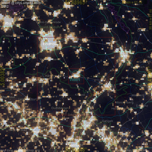
» Earth at Night: Flat Maps 2012, 2016