Valkenswaard night lights from space
Night Light of Valkenswaard (North Brabant) from space (Netherlands) Src. Average luminocity for 10x10km area is 24.6779% and for 50x50km: 20.66%.
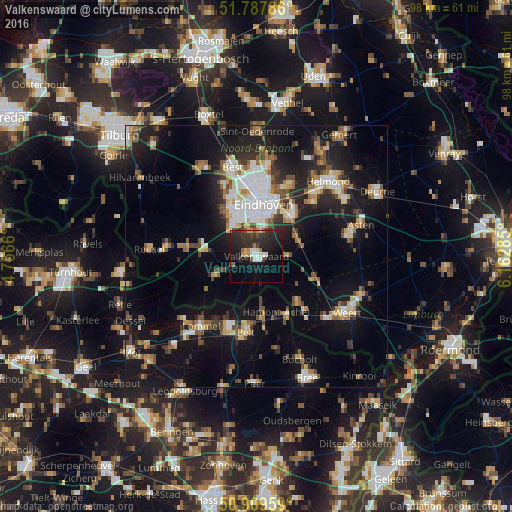
Analysis of Valkenswaard night lights 2016
Square area 10x10 km:
 2.1%
2.1%90-99
3.64%80-89
2.1%70-79
2.38%60-69
1.96%50-59
2.1%40-49
2.24%30-39
7.14%20-29
17.79%10-19
25.77%0-9
32.77%Square area 50x50 km:
2.86%90-99
3.33%80-89
2.05%70-79
2.21%60-69
2.29%50-59
3.2%40-49
2.68%30-39
2.67%20-29
5.41%10-19
18.48%0-9
54.81%Clear (daylight) street map image can be seen on geolist.org.
Map coordinates:
51° 47' 16.3" North, 4° 45' 23.8" East
51° 21' 3" North, 5° 27' 35" East
50° 54' 34.5" North, 6° 9' 46.3" East
Some cities around Valkenswaard sort by population:
• Eindhoven
10.1 km =6.3 mi,  7°
7°
• Eersel
9.9 km =6.2 mi,  274°
274°
• Bergeijk
7.9 km =4.9 mi,  243°
243°
• Heeze
8.5 km =5.3 mi,  65°
65°
• Waalre
4.1 km =2.5 mi,  345°
345°
• De Doornakkers
10.3 km =6.4 mi,  19°
19°
• Veldhoven
8.5 km =5.3 mi,  332°
332°
• Zeelst
8.7 km =5.4 mi,  339°
339°
2745860 (p: 31,071)
Sources (retrieved 2019-11-25):
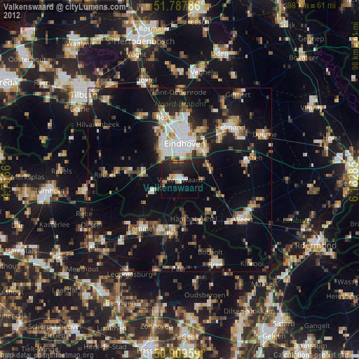
» Earth at Night: Flat Maps 2012, 2016