Gorinchem night lights from space
Night Light of Gorinchem (South Holland) from space (Netherlands) Src. Average luminocity for 10x10km area is 23.9202% and for 50x50km: 27.2752%.
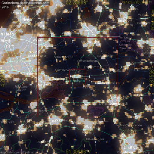
Analysis of Gorinchem night lights 2016
Square area 10x10 km:
 4.2%
4.2%90-99
4.34%80-89
1.54%70-79
2.24%60-69
0.7%50-59
2.52%40-49
5.46%30-39
0.84%20-29
2.38%10-19
39.36%0-9
36.41%Square area 50x50 km:
5.07%90-99
5.58%80-89
2.44%70-79
2.46%60-69
2.47%50-59
2.62%40-49
2.99%30-39
4.39%20-29
8.95%10-19
23.14%0-9
39.87%Clear (daylight) street map image can be seen on geolist.org.
Map coordinates:
52° 16' 8" North, 4° 16' 9.5" East
51° 50' 11.5" North, 4° 58' 20.7" East
51° 23' 59.9" North, 5° 40' 32" East
Some cities around Gorinchem sort by population:
• Werkendam
6.1 km =3.8 mi,  241°
241°
• Sliedrecht
13.6 km =8.5 mi,  262°
262°
• Leerdam
10.3 km =6.4 mi,  52°
52°
• Woudrichem
3.1 km =1.9 mi,  140°
140°
• Liesveld
14.4 km =8.9 mi,  317°
317°
• Aalburg
14.2 km =8.8 mi,  129°
129°
• Neder-Hardinxveld
8.1 km =5 mi, 263°
• Giessendam
9.4 km =5.8 mi,  267°
267°
2755434 (p: 34,736)
Sources (retrieved 2019-11-25):
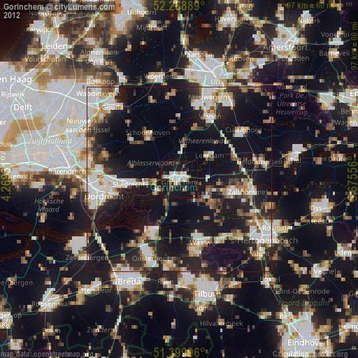
» Earth at Night: Flat Maps 2012, 2016