Zaltbommel night lights from space
Night Light of Zaltbommel (Gelderland) from space (Netherlands) Src. Average luminocity for 10x10km area is 29.4342% and for 50x50km: 23.1586%.
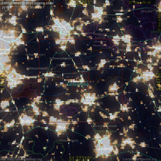
Analysis of Zaltbommel night lights 2016
Square area 10x10 km:
 4.62%
4.62%90-99
4.34%80-89
3.78%70-79
0.98%60-69
2.52%50-59
2.66%40-49
2.66%30-39
2.94%20-29
13.59%10-19
54.9%0-9
7%Square area 50x50 km:
3.27%90-99
4.2%80-89
1.94%70-79
2.22%60-69
2.44%50-59
2.45%40-49
2.7%30-39
3.06%20-29
7.57%10-19
26.8%0-9
43.36%Clear (daylight) street map image can be seen on geolist.org.
Map coordinates:
52° 14' 33.5" North, 4° 32' 28.8" East
51° 48' 36" North, 5° 14' 40" East
51° 22' 23.4" North, 5° 56' 51.3" East
Some cities around Zaltbommel sort by population:
• 's-Hertogenbosch
13 km =8.1 mi,  161°
161°
• Tiel
15.3 km =9.5 mi,  56°
56°
• Culemborg
16.2 km =10.1 mi,  355°
355°
• Geldermalsen
8.4 km =5.2 mi,  21°
21°
• Leerdam
14 km =8.7 mi,  311°
311°
• De Kruiskamp
12.3 km =7.6 mi,  174°
174°
• Kerkdriel
7.5 km =4.7 mi,  124°
124°
• Aalburg
9.9 km =6.2 mi,  231°
231°
2744102 (p: 26,383)
Sources (retrieved 2019-11-25):
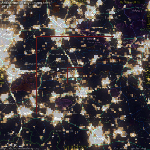
» Earth at Night: Flat Maps 2012, 2016