's-Hertogenbosch night lights from space
Night Light of 's-Hertogenbosch (North Brabant) from space (Netherlands) Src. Average luminocity for 10x10km area is 66.4902% and for 50x50km: 26.172%.
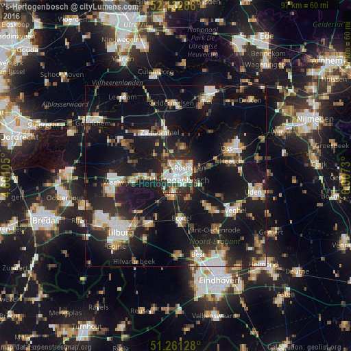
Analysis of 's-Hertogenbosch night lights 2016
Square area 10x10 km:
 20.59%
90-99
21.01%80-89
3.36%70-79
7.7%60-69
5.18%50-59
3.78%40-49
5.32%30-39
13.59%20-29
16.67%10-19
2.8%0-9
0%Square area 50x50 km:
3.98%90-99
4.71%80-89
2.09%70-79
2.65%60-69
2.89%50-59
3.2%40-49
2.87%30-39
3.66%20-29
8.57%10-19
28.88%0-9
36.5%Clear (daylight) street map image can be seen on geolist.org.
Map coordinates:
52° 7' 58.3" North, 4° 36' 3.8" East
51° 41' 57" North, 5° 18' 15" East
51° 15' 40.6" North, 6° 0' 26.3" East
Some cities around 's-Hertogenbosch sort by population:
• Boxtel
12.2 km =7.6 mi,  171°
171°
• Zaltbommel
13 km =8.1 mi,  341°
341°
• Vught
5.2 km =3.2 mi,  192°
192°
• Schijndel
12.3 km =7.6 mi,  134°
134°
• De Kruiskamp
3 km =1.9 mi,  271°
271°
• Heeswijk-Dinther
12.9 km =8 mi,  114°
114°
• Kerkdriel
8.3 km =5.2 mi,  14°
14°
• Aalburg
13.4 km =8.3 mi,  297°
297°
2747351 (p: 134,520)
Sources (retrieved 2019-11-25):
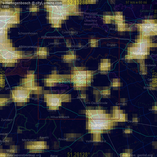
» NASA, Earths city lights 1995
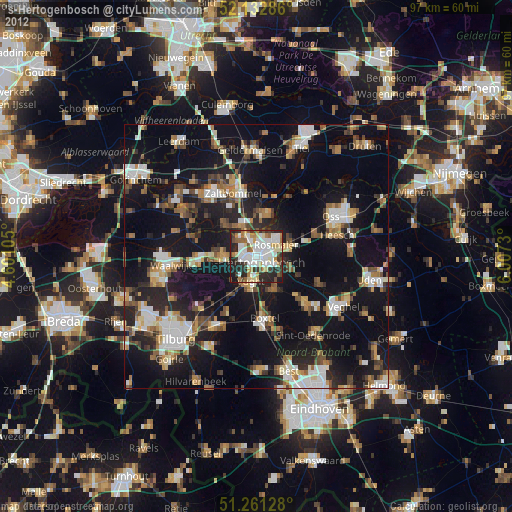
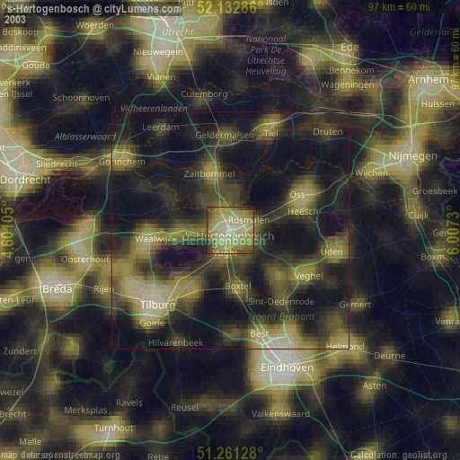
» NASA city lights 2003
» Earth at Night: Flat Maps 2012, 2016