Nagarote night lights from space
Night Light of Nagarote (León) from space (Nicaragua) Src. Average luminocity for 10x10km area is 7.2831% and for 50x50km: 3.2822%.
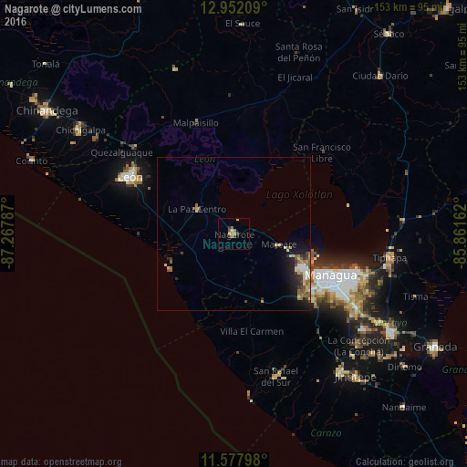
Analysis of Nagarote night lights 2016
Square area 10x10 km:
 0%
0%90-99
0.21%80-89
1.86%70-79
0.83%60-69
3.72%50-59
0%40-49
0.83%30-39
2.07%20-29
1.24%10-19
0%0-9
89.26%Square area 50x50 km:
0.19%90-99
0.49%80-89
0.52%70-79
0.4%60-69
0.69%50-59
0.5%40-49
0.46%30-39
0.46%20-29
0.77%10-19
2.38%0-9
93.15%Clear (daylight) street map image can be seen on geolist.org.
Map coordinates:
12° 57' 7.5" North, 87° 16' 4.3" West
12° 15' 57.3" North, 86° 33' 53.1" West
11° 34' 40.7" North, 85° 51' 41.8" West
Some cities around Nagarote sort by population:
• Managua
37.2 km =23.1 mi,  113°
113°
• León
39 km =24.2 mi,  299°
299°
• Ciudad Sandino
26.8 km =16.7 mi,  116°
116°
• La Paz Centro
14.6 km =9.1 mi, 304°
• El Crucero
41.4 km =25.7 mi,  137°
137°
• Telica
42.8 km =26.6 mi,  311°
311°
• Larreynaga
45.7 km =28.4 mi,  359°
359°
• Villa El Carmen
32.4 km =20.1 mi,  168°
168°
3617522 (p: 26,270)
Sources (retrieved 2019-11-25):
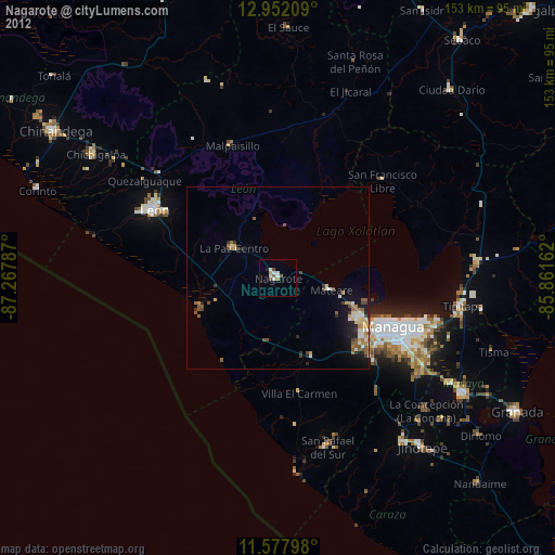
» Earth at Night: Flat Maps 2012, 2016