Ciudad Sandino night lights from space
Night Light of Ciudad Sandino (Managua) from space (Nicaragua) Src. Average luminocity for 10x10km area is 61.8843% and for 50x50km: 15.4185%.
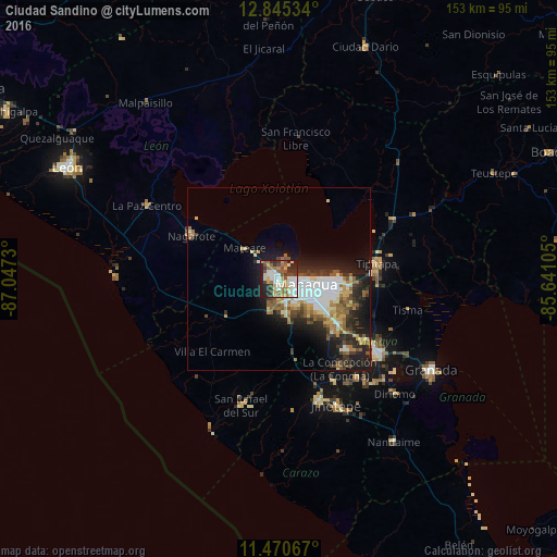
Analysis of Ciudad Sandino night lights 2016
Square area 10x10 km:
 10.33%
90-99
19.21%80-89
6.82%70-79
5.99%60-69
10.95%50-59
7.85%40-49
7.44%30-39
10.33%20-29
15.29%10-19
5.79%0-9
0%Square area 50x50 km:
2.99%90-99
2.94%80-89
1.74%70-79
1.57%60-69
2.17%50-59
2.22%40-49
1.63%30-39
2.63%20-29
4.28%10-19
8.18%0-9
69.65%Clear (daylight) street map image can be seen on geolist.org.
Map coordinates:
12° 50' 43.2" North, 87° 2' 50.3" West
12° 9' 32" North, 86° 20' 39" West
11° 28' 14.4" North, 85° 38' 27.8" West
Some cities around Ciudad Sandino sort by population:
• Managua
10.6 km =6.6 mi,  105°
105°
• Tipitapa
27.2 km =16.9 mi,  80°
80°
• Nagarote
26.8 km =16.7 mi,  296°
296°
• El Crucero
19.1 km =11.9 mi,  168°
168°
• Ticuantepe
21.4 km =13.3 mi,  135°
135°
• Nindirí
29.7 km =18.5 mi,  125°
125°
• La Concepción
29.8 km =18.5 mi,  145°
145°
• Villa El Carmen
26.5 km =16.5 mi,  221°
221°
3828262 (p: 50,000)
Sources (retrieved 2019-11-25):
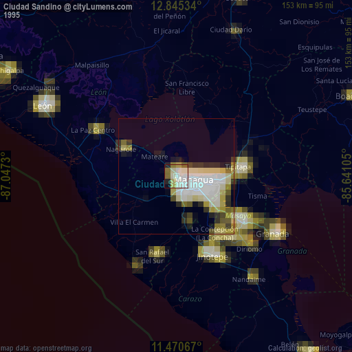
» NASA, Earths city lights 1995
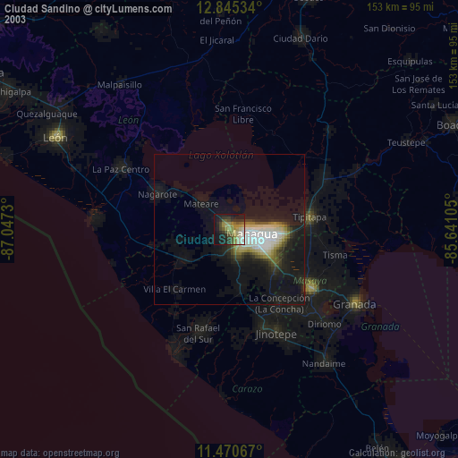
» NASA city lights 2003
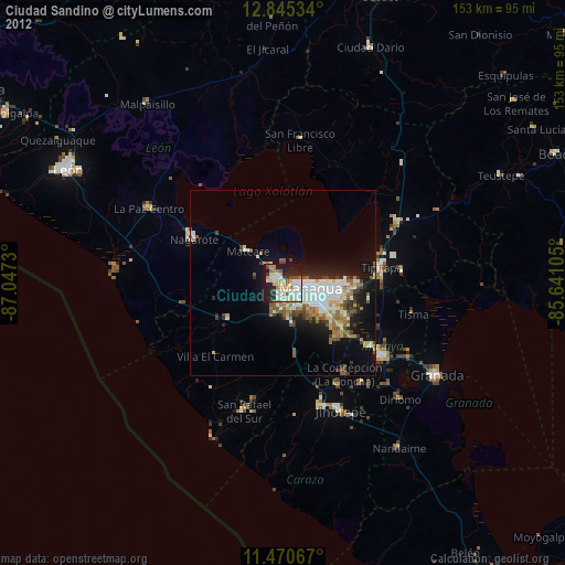
» Earth at Night: Flat Maps 2012, 2016