La Paz Centro night lights from space
Night Light of La Paz Centro (León) from space (Nicaragua) Src. Average luminocity for 10x10km area is 3.25% and for 50x50km: 2.4546%.
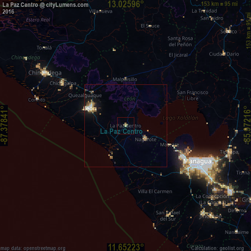
Analysis of La Paz Centro night lights 2016
Square area 10x10 km:
 0%
0%90-99
0%80-89
0.83%70-79
0.83%60-69
0.83%50-59
0.83%40-49
0.83%30-39
0%20-29
0.21%10-19
1.03%0-9
94.63%Square area 50x50 km:
0.1%90-99
0.45%80-89
0.39%70-79
0.31%60-69
0.55%50-59
0.27%40-49
0.29%30-39
0.29%20-29
0.44%10-19
1.93%0-9
94.99%Clear (daylight) street map image can be seen on geolist.org.
Map coordinates:
13° 1' 33.5" North, 87° 22' 42.3" West
12° 20' 24" North, 86° 40' 31" West
11° 39' 8" North, 85° 58' 19.8" West
Some cities around La Paz Centro sort by population:
• León
24.6 km =15.3 mi,  296°
296°
• Ciudad Sandino
41.2 km =25.6 mi,  119°
119°
• Chichigalpa
46.4 km =28.8 mi, 304°
• Nagarote
14.6 km =9.1 mi, 124°
• Telica
28.4 km =17.6 mi,  315°
315°
• Larreynaga
39.1 km =24.3 mi,  16°
16°
• Posoltega
40.1 km =24.9 mi, 304°
• Villa El Carmen
44.1 km =27.4 mi,  155°
155°
3618411 (p: 23,481)
Sources (retrieved 2019-11-25):
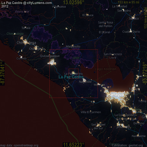
» Earth at Night: Flat Maps 2012, 2016