Managua night lights from space
Night Light of Managua from space (Nicaragua) Src. Average luminocity for 10x10km area is 86.062% and for 50x50km: 18.2003%.
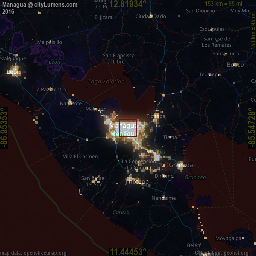
Analysis of Managua night lights 2016
Square area 10x10 km:
 46.49%
90-99
26.65%80-89
3.51%70-79
2.89%60-69
1.45%50-59
2.69%40-49
4.13%30-39
10.74%20-29
1.45%10-19
0%0-9
0%Square area 50x50 km:
3.19%90-99
3.27%80-89
2%70-79
1.99%60-69
2.58%50-59
2.58%40-49
2.03%30-39
2.96%20-29
4.94%10-19
11.73%0-9
62.72%Clear (daylight) street map image can be seen on geolist.org.
Map coordinates:
12° 49' 9.6" North, 86° 57' 12.7" West
12° 7' 58.2" North, 86° 15' 1.4" West
11° 26' 40.3" North, 85° 32' 50.2" West
Some cities around Managua sort by population:
• Masaya
24.5 km =15.2 mi,  136°
136°
• Tipitapa
18.1 km =11.2 mi,  66°
66°
• Ciudad Sandino
10.6 km =6.6 mi,  285°
285°
• San Marcos
25.4 km =15.8 mi,  168°
168°
• El Crucero
17.1 km =10.6 mi,  202°
202°
• Ticuantepe
13.2 km =8.2 mi,  158°
158°
• Nindirí
20.1 km =12.5 mi, 135°
• La Concepción
22.7 km =14.1 mi, 163°
3617763 (p: 973,087)
Sources (retrieved 2019-11-25):
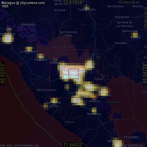
» NASA, Earths city lights 1995
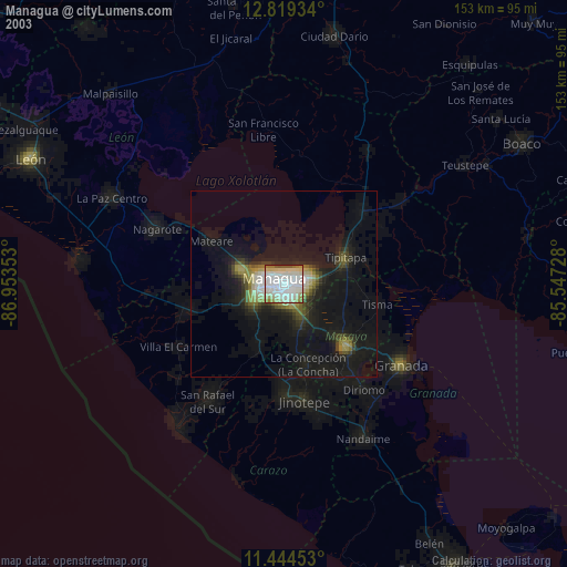
» NASA city lights 2003
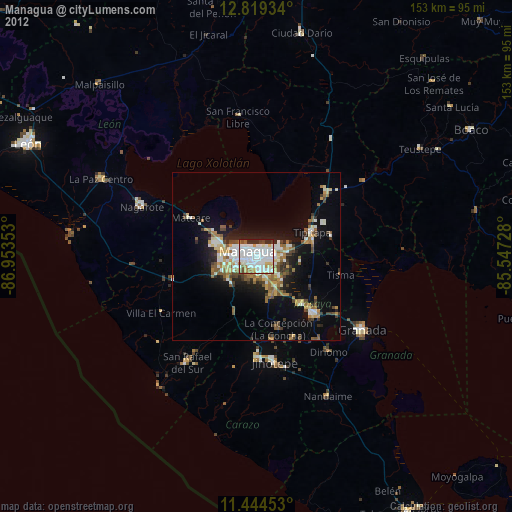
» Earth at Night: Flat Maps 2012, 2016