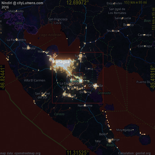
Nindirí night lights from space
Night Light of Nindirí (Masaya) from space (Nicaragua) Src. Average luminocity for 10x10km area is 39.9442% and for 50x50km: 19.1356%.
Analysis of Nindirí night lights 2016
Square area 10x10 km:
 4.55%
4.55%90-99
5.58%80-89
4.55%70-79
4.55%60-69
6.82%50-59
5.17%40-49
7.02%30-39
10.12%20-29
22.11%10-19
22.93%0-9
6.61%Square area 50x50 km:
3.19%90-99
3.29%80-89
2.11%70-79
2.16%60-69
2.74%50-59
2.99%40-49
2.08%30-39
3.15%20-29
4.85%10-19
11.82%0-9
61.62%Clear (daylight) street map image can be seen on geolist.org.
Map coordinates:
12° 41' 26.6" North, 86° 49' 27.9" West
12° 0' 13.9" North, 86° 7' 16.6" West
11° 18' 54.9" North, 85° 25' 5.4" West
Some cities around Nindirí sort by population:
• Masaya
4.4 km =2.7 mi,  137°
137°
• San Marcos
13.8 km =8.6 mi,  220°
220°
• Masatepe
10.3 km =6.4 mi,  194°
194°
• Ticuantepe
9.3 km =5.8 mi,  282°
282°
• Niquinohomo
11.4 km =7.1 mi,  165°
165°
• La Concepción
10.5 km =6.5 mi,  225°
225°
• Nandasmo
8.9 km =5.5 mi,  179°
179°
• Tisma
14.2 km =8.8 mi,  52°
52°
3617473 (p: 7,073)
Sources (retrieved 2019-11-25):
» Earth at Night: Flat Maps 2012, 2016