Masaya night lights from space
Night Light of Masaya from space (Nicaragua) Src. Average luminocity for 10x10km area is 36.5764% and for 50x50km: 17.191%.
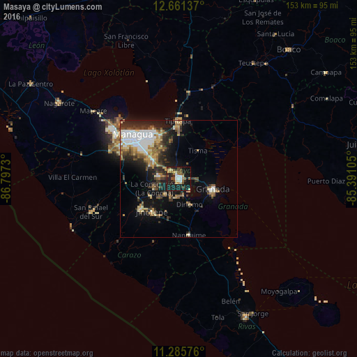

Analysis of Masaya night lights 2016
Square area 10x10 km:
 4.13%
4.13%90-99
6.2%80-89
4.75%70-79
2.27%60-69
6.4%50-59
5.37%40-49
5.58%30-39
3.72%20-29
14.88%10-19
42.36%0-9
4.34%Square area 50x50 km:
3.08%90-99
2.89%80-89
1.93%70-79
1.77%60-69
2.27%50-59
2.54%40-49
1.93%30-39
3.03%20-29
4.71%10-19
10.61%0-9
65.24%Clear (daylight) street map image can be seen on geolist.org.
Map coordinates:
12° 39' 40.9" North, 86° 47' 50.3" West
11° 58' 28" North, 86° 5' 39" West
11° 17' 8.7" North, 85° 23' 27.8" West
Some cities around Masaya sort by population:
• San Marcos
13.9 km =8.6 mi,  238°
238°
• Masatepe
8.6 km =5.3 mi,  219°
219°
• Ticuantepe
13.2 km =8.2 mi,  293°
293°
• Diriomo
11.8 km =7.3 mi,  157°
157°
• Niquinohomo
7.7 km =4.8 mi,  180°
180°
• Nindirí
4.4 km =2.7 mi,  317°
317°
• La Concepción
11.2 km =7 mi,  248°
248°
• Nandasmo
6.3 km =3.9 mi,  207°
207°
3617723 (p: 130,113)
Sources (retrieved 2019-11-25):
» NASA, Earths city lights 1995
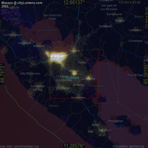
» NASA city lights 2003
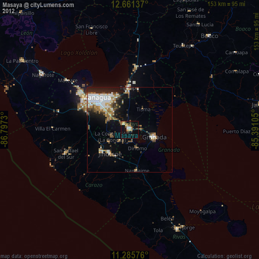
» Earth at Night: Flat Maps 2012, 2016