San Marcos night lights from space
Night Light of San Marcos (Carazo) from space (Nicaragua) Src. Average luminocity for 10x10km area is 20.374% and for 50x50km: 13.9939%.
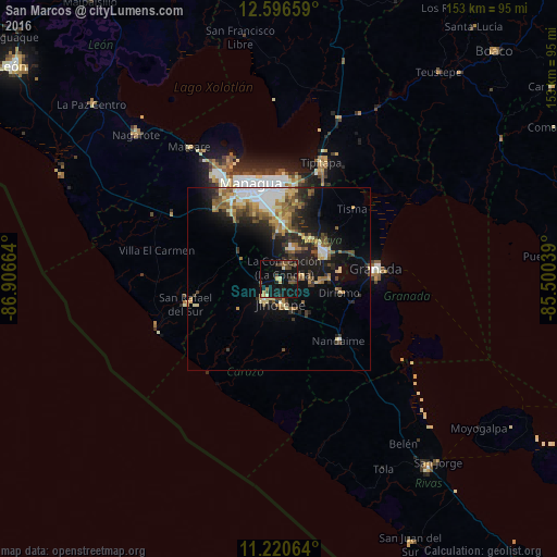
Analysis of San Marcos night lights 2016
Square area 10x10 km:
 0%
0%90-99
1.45%80-89
3.31%70-79
1.45%60-69
1.65%50-59
3.93%40-49
6.82%30-39
3.72%20-29
3.31%10-19
41.94%0-9
32.44%Square area 50x50 km:
1.93%90-99
1.92%80-89
1.91%70-79
1.72%60-69
2.16%50-59
2.18%40-49
1.8%30-39
2.35%20-29
3.7%10-19
9.41%0-9
70.92%Clear (daylight) street map image can be seen on geolist.org.
Map coordinates:
12° 35' 47.7" North, 86° 54' 23.9" West
11° 54' 34.2" North, 86° 12' 12.6" West
11° 13' 14.3" North, 85° 30' 1.4" West
Some cities around San Marcos sort by population:
• Diriamba
6.9 km =4.3 mi,  214°
214°
• Jinotepe
6.7 km =4.2 mi,  175°
175°
• Masatepe
6.4 km =4 mi,  85°
85°
• Ticuantepe
12.6 km =7.8 mi,  359°
359°
• Niquinohomo
11.9 km =7.4 mi, 92°
• Dolores
6 km =3.7 mi,  192°
192°
• La Concepción
3.4 km =2.1 mi,  25°
25°
• Nandasmo
9.2 km =5.7 mi,  79°
79°
3616682 (p: 23,347)
Sources (retrieved 2019-11-25):
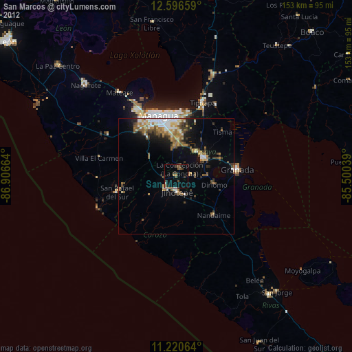
» Earth at Night: Flat Maps 2012, 2016