Bocana de Paiwas night lights from space
Night Light of Bocana de Paiwas (South Caribbean Coast) from space (Nicaragua) Src. Average luminocity for 10x10km area is 0% and for 50x50km: 0.0254%.
Analysis of Bocana de Paiwas night lights 2016
Square area 10x10 km:
 0%
0%90-99
0%80-89
0%70-79
0%60-69
0%50-59
0%40-49
0%30-39
0%20-29
0%10-19
0%0-9
100%Square area 50x50 km:
0%90-99
0%80-89
0%70-79
0%60-69
0%50-59
0%40-49
0%30-39
0.07%20-29
0%10-19
0%0-9
99.93%Clear (daylight) street map image can be seen on geolist.org.
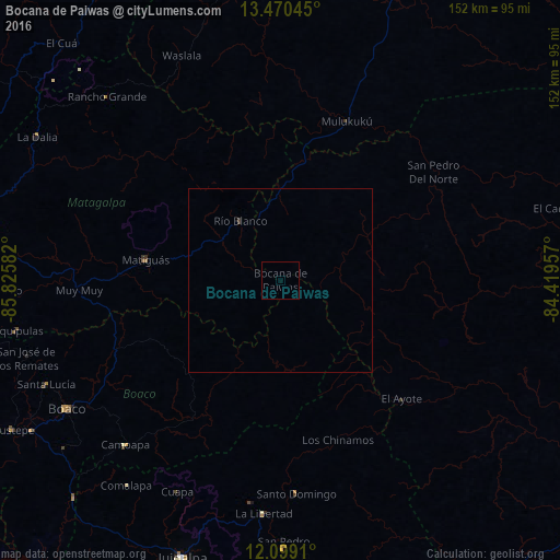
Map coordinates:
13° 28' 13.6" North, 85° 49' 33" West
12° 47' 8.6" North, 85° 7' 21.7" West
12° 5' 56.8" North, 84° 25' 10.5" West
Some cities around Bocana de Paiwas sort by population:
• Boaco
67.8 km =42.1 mi,  239°
239°
• Río Blanco
19.8 km =12.3 mi,  326°
326°
• Camoapa
61.6 km =38.3 mi,  223°
223°
• Matiguás
37.3 km =23.2 mi,  278°
278°
• San Lorenzo
74.4 km =46.2 mi,  232°
232°
• Waslala
57.2 km =35.5 mi, 330°
• Santo Domingo
58.1 km =36.1 mi,  175°
175°
• El Ayote
68.6 km =42.6 mi,  195°
195°
3620661 (p: 7,872)
Sources (retrieved 2019-11-25):
» Earth at Night: Flat Maps 2012, 2016