Posoltega night lights from space
Night Light of Posoltega (Chinandega) from space (Nicaragua) Src. Average luminocity for 10x10km area is 6.0411% and for 50x50km: 4.3541%.
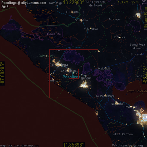
Analysis of Posoltega night lights 2016
Square area 10x10 km:
 0%
0%90-99
0%80-89
0.22%70-79
1.08%60-69
0.43%50-59
2.38%40-49
1.08%30-39
2.6%20-29
2.16%10-19
0.43%0-9
89.61%Square area 50x50 km:
0.14%90-99
0.68%80-89
0.61%70-79
0.65%60-69
0.72%50-59
0.66%40-49
0.42%30-39
0.57%20-29
0.61%10-19
3.47%0-9
91.46%Clear (daylight) street map image can be seen on geolist.org.
Map coordinates:
13° 13' 46.7" North, 87° 40' 58.6" West
12° 32' 39.2" North, 86° 58' 47.4" West
11° 51' 25.1" North, 86° 16' 36.1" West
Some cities around Posoltega sort by population:
• León
16.2 km =10.1 mi,  136°
136°
• Chinandega
18.9 km =11.7 mi,  299°
299°
• El Viejo
24.2 km =15 mi, 303°
• Chichigalpa
6.3 km =3.9 mi,  305°
305°
• Corinto
22.1 km =13.7 mi,  251°
251°
• Telica
13.3 km =8.3 mi,  100°
100°
• Puerto Morazán
39.9 km =24.8 mi,  328°
328°
• El Realejo
20.1 km =12.5 mi,  269°
269°
3617191 (p: 6,403)
Sources (retrieved 2019-11-25):
» Earth at Night: Flat Maps 2012, 2016