Chichigalpa night lights from space
Night Light of Chichigalpa (Chinandega) from space (Nicaragua) Src. Average luminocity for 10x10km area is 13.4632% and for 50x50km: 4.4624%.
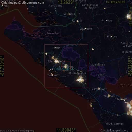
Analysis of Chichigalpa night lights 2016
Square area 10x10 km:
 0%
0%90-99
1.3%80-89
1.95%70-79
3.25%60-69
2.16%50-59
1.95%40-49
0.65%30-39
4.11%20-29
3.46%10-19
1.3%0-9
79.87%Square area 50x50 km:
0.14%90-99
0.72%80-89
0.65%70-79
0.65%60-69
0.72%50-59
0.7%40-49
0.4%30-39
0.58%20-29
0.61%10-19
3.5%0-9
91.33%Clear (daylight) street map image can be seen on geolist.org.
Map coordinates:
13° 15' 46.4" North, 87° 43' 48.6" West
12° 34' 39.3" North, 87° 1' 37.4" West
11° 53' 25.5" North, 86° 19' 26.1" West
Some cities around Chichigalpa sort by population:
• León
22.4 km =13.9 mi,  133°
133°
• Chinandega
12.7 km =7.9 mi,  297°
297°
• El Viejo
17.9 km =11.1 mi, 302°
• Corinto
19 km =11.8 mi,  236°
236°
• Telica
19.2 km =11.9 mi,  108°
108°
• Puerto Morazán
34.2 km =21.3 mi,  332°
332°
• Posoltega
6.3 km =3.9 mi, 125°
• El Realejo
15.5 km =9.6 mi,  255°
255°
3620390 (p: 33,137)
Sources (retrieved 2019-11-25):
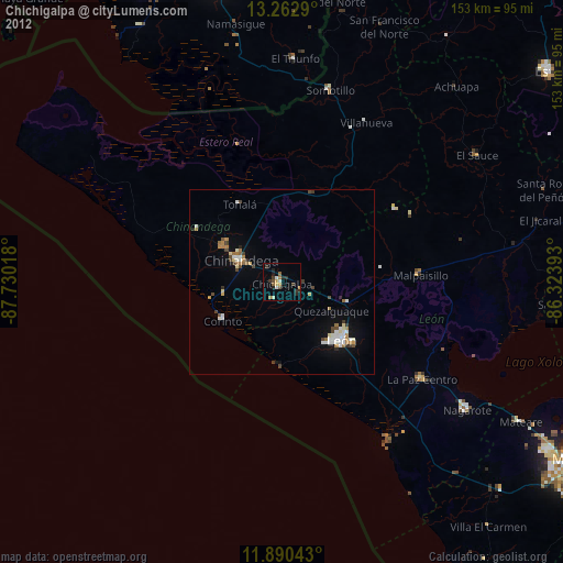
» Earth at Night: Flat Maps 2012, 2016