Auchi night lights from space
Night Light of Auchi (Edo) from space (Nigeria) Src. Average luminocity for 10x10km area is 2.4654% and for 50x50km: 0.1836%.
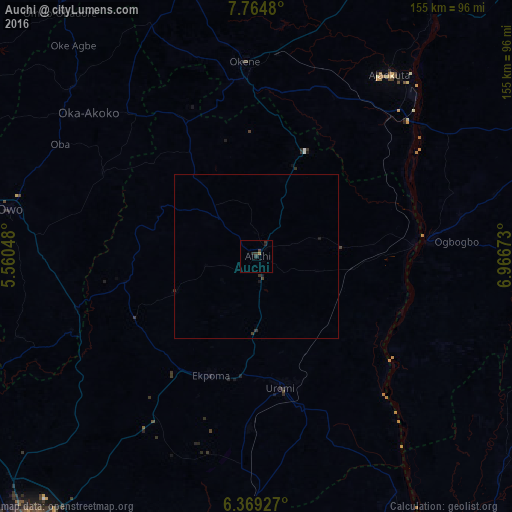
Analysis of Auchi night lights 2016
Square area 10x10 km:
 0%
0%90-99
0%80-89
0%70-79
0%60-69
0.87%50-59
0%40-49
0.87%30-39
1.95%20-29
2.38%10-19
0%0-9
93.94%Square area 50x50 km:
0%90-99
0%80-89
0%70-79
0%60-69
0.03%50-59
0%40-49
0.09%30-39
0.16%20-29
0.13%10-19
0.09%0-9
99.5%Clear (daylight) street map image can be seen on geolist.org.
Map coordinates:
7° 45' 53.3" North, 5° 33' 37.7" East
7° 4' 3.2" North, 6° 15' 49" East
6° 22' 9.4" North, 6° 58' 0.2" East
Some cities around Auchi sort by population:
• Okene
53.9 km =33.5 mi,  356°
356°
• Uromi
41.6 km =25.8 mi,  169°
169°
• Idah
52.7 km =32.7 mi,  84°
84°
• Ekpoma
38.6 km =24 mi,  200°
200°
• Ubiaja
47.7 km =29.6 mi,  163°
163°
• Igarra
30.7 km =19.1 mi,  325°
325°
• Agenebode
47.7 km =29.6 mi, 84°
• Ifon
56.2 km =34.9 mi,  254°
254°
2348892 (p: 62,907)
Sources (retrieved 2019-11-25):
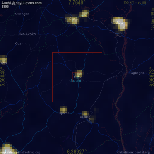
» NASA, Earths city lights 1995
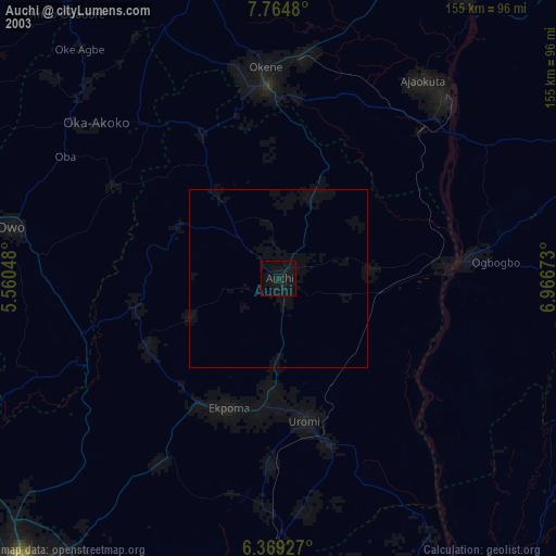
» NASA city lights 2003
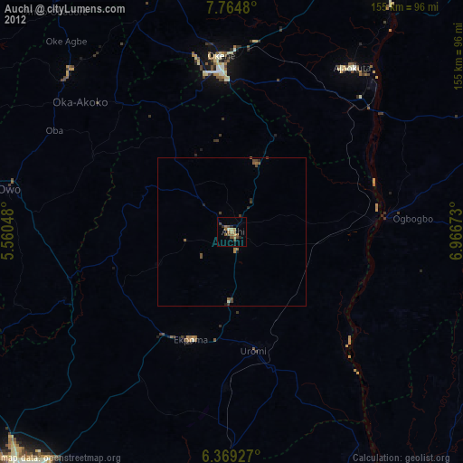
» Earth at Night: Flat Maps 2012, 2016