Illushi night lights from space
Night Light of Illushi (Edo) from space (Nigeria) Src. Average luminocity for 10x10km area is 1.8745% and for 50x50km: 0.1769%.
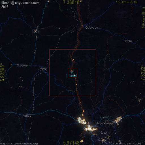
Analysis of Illushi night lights 2016
Square area 10x10 km:
100  0%
0%
90-99 0%
80-89 0%
70-79 0.87%
60-69 1.73%
50-59 0%
40-49 0%
30-39 0%
20-29 0%
10-19 0%
0-9 97.4%
0%90-99
0%80-89
0%70-79
0.87%60-69
1.73%50-59
0%40-49
0%30-39
0%20-29
0%10-19
0%0-9
97.4%Square area 50x50 km:
100 0%
90-99 0%
80-89 0%
70-79 0.1%
60-69 0.15%
50-59 0%
40-49 0%
30-39 0%
20-29 0%
10-19 0%
0-9 99.76%
0%90-99
0%80-89
0%70-79
0.1%60-69
0.15%50-59
0%40-49
0%30-39
0%20-29
0%10-19
0%0-9
99.76%Clear (daylight) street map image can be seen on geolist.org.
Map coordinates:
7° 22' 5.4" North, 5° 55' 33.4" East
6° 40' 13.2" North, 6° 37' 44.7" East
5° 58' 17.3" North, 7° 19' 55.9" East
Some cities around Illushi sort by population:
• Uromi
32.8 km =20.4 mi,  275°
275°
• Asaba
53.7 km =33.4 mi,  167°
167°
• Idah
50.7 km =31.5 mi,  13°
13°
• Ekpoma
54.6 km =33.9 mi, 278°
• Ubiaja
27 km =16.8 mi,  266°
266°
• Agenebode
48.9 km =30.4 mi, 8°
• Ogurugu
37.7 km =23.4 mi,  70°
70°
• Adani
42.9 km =26.7 mi,  79°
79°
2337666 (p: 7,340)
Sources (retrieved 2019-11-25):
» Earth at Night: Flat Maps 2012, 2016