Ogoja night lights from space
Night Light of Ogoja (Cross River) from space (Nigeria) Src. Average luminocity for 10x10km area is 0% and for 50x50km: 0%.

Analysis of Ogoja night lights 2016
Square area 10x10 km:
100  0%
0%
90-99 0%
80-89 0%
70-79 0%
60-69 0%
50-59 0%
40-49 0%
30-39 0%
20-29 0%
10-19 0%
0-9 100%
0%90-99
0%80-89
0%70-79
0%60-69
0%50-59
0%40-49
0%30-39
0%20-29
0%10-19
0%0-9
100%Square area 50x50 km:
100 0%
90-99 0%
80-89 0%
70-79 0%
60-69 0%
50-59 0%
40-49 0%
30-39 0%
20-29 0%
10-19 0%
0-9 100%
0%90-99
0%80-89
0%70-79
0%60-69
0%50-59
0%40-49
0%30-39
0%20-29
0%10-19
0%0-9
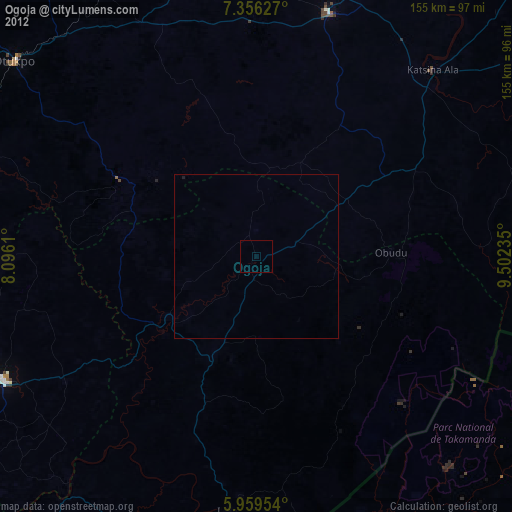
100%Clear (daylight) street map image can be seen on geolist.org.
Map coordinates:
7° 21' 22.6" North, 8° 5' 46" East
6° 39' 30.2" North, 8° 47' 57.2" East
5° 57' 34.3" North, 9° 30' 8.5" East
Some cities around Ogoja sort by population:
• Effium
81.9 km =50.9 mi,  267°
267°
• Ikom
77.6 km =48.2 mi,  187°
187°
• Ezza-Ohu
82.6 km =51.3 mi,  252°
252°
• Katsina-Ala
78.1 km =48.5 mi,  43°
43°
• Obudu
40.4 km =25.1 mi,  88°
88°
• Obubra
82.7 km =51.4 mi,  218°
218°
• Aliade
79.1 km =49.2 mi,  333°
333°
• Gakem
24.5 km =15.2 mi,  59°
59°
2327650 (p: 37,466)
Sources (retrieved 2019-11-25):
» Earth at Night: Flat Maps 2012, 2016