Gakem night lights from space
Night Light of Gakem (Cross River) from space (Nigeria) Src. Average luminocity for 10x10km area is 0% and for 50x50km: 0.0316%.
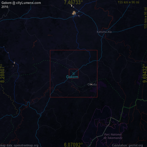
Analysis of Gakem night lights 2016
Square area 10x10 km:
100  0%
0%
90-99 0%
80-89 0%
70-79 0%
60-69 0%
50-59 0%
40-49 0%
30-39 0%
20-29 0%
10-19 0%
0-9 100%
0%90-99
0%80-89
0%70-79
0%60-69
0%50-59
0%40-49
0%30-39
0%20-29
0%10-19
0%0-9
100%Square area 50x50 km:
100 0%
90-99 0%
80-89 0%
70-79 0%
60-69 0%
50-59 0%
40-49 0.01%
30-39 0.06%
20-29 0%
10-19 0%
0-9 99.93%
0%90-99
0%80-89
0%70-79
0%60-69
0%50-59
0%40-49
0.01%30-39
0.06%20-29
0%10-19
0%0-9
99.93%Clear (daylight) street map image can be seen on geolist.org.
Map coordinates:
7° 28' 2.4" North, 8° 17' 17.1" East
6° 46' 10.7" North, 8° 59' 28.3" East
6° 4' 15.3" North, 9° 41' 39.6" East
Some cities around Gakem sort by population:
• Effium
104.2 km =64.7 mi,  261°
261°
• Ikom
94.7 km =58.8 mi,  199°
199°
• Ogoja
24.5 km =15.2 mi,  239°
239°
• Katsina-Ala
55 km =34.2 mi,  36°
36°
• Obudu
22.2 km =13.8 mi,  120°
120°
• Igbor
86.8 km =53.9 mi,  330°
330°
• Aliade
81.1 km =50.4 mi,  316°
316°
• Yandev
66.2 km =41.1 mi,  4°
4°
2342291 (p: 5,865)
Sources (retrieved 2019-11-25):
» Earth at Night: Flat Maps 2012, 2016