Obudu night lights from space
Night Light of Obudu (Cross River) from space (Nigeria) Src. Average luminocity for 10x10km area is 0.79% and for 50x50km: 0.0316%.
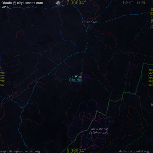
Analysis of Obudu night lights 2016
Square area 10x10 km:
 0%
0%90-99
0%80-89
0%70-79
0%60-69
0%50-59
0%40-49
0.22%30-39
1.52%20-29
0%10-19
0%0-9
98.27%Square area 50x50 km:
0%90-99
0%80-89
0%70-79
0%60-69
0%50-59
0%40-49
0.01%30-39
0.06%20-29
0%10-19
0%0-9
99.93%Clear (daylight) street map image can be seen on geolist.org.
Map coordinates:
7° 21' 57.7" North, 8° 27' 41.1" East
6° 40' 5.5" North, 9° 9' 52.3" East
5° 58' 9.6" North, 9° 52' 3.6" East
Some cities around Obudu sort by population:
• Ikom
93 km =57.8 mi,  212°
212°
• Wum, CM
104.6 km =65 mi,  107°
107°
• Ogoja
40.4 km =25.1 mi,  268°
268°
• Katsina-Ala
57.3 km =35.6 mi,  13°
13°
• Mamfe, CM
103.3 km =64.2 mi,  170°
170°
• Aliade
102.7 km =63.8 mi,  312°
312°
• Yandev
78.4 km =48.7 mi,  350°
350°
• Gakem
22.2 km =13.8 mi,  300°
300°
2328151 (p: 19,668)
Sources (retrieved 2019-11-25):
» Earth at Night: Flat Maps 2012, 2016