Obubra night lights from space
Night Light of Obubra (Cross River) from space (Nigeria) Src. Average luminocity for 10x10km area is 0% and for 50x50km: 0.0619%.
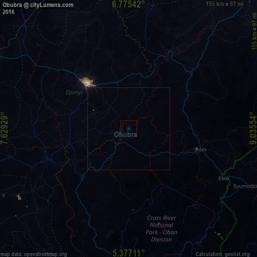
Analysis of Obubra night lights 2016
Square area 10x10 km:
 0%
0%90-99
0%80-89
0%70-79
0%60-69
0%50-59
0%40-49
0%30-39
0%20-29
0%10-19
0%0-9
100%Square area 50x50 km:
0%90-99
0%80-89
0%70-79
0%60-69
0%50-59
0%40-49
0.02%30-39
0.03%20-29
0%10-19
0.03%0-9
99.91%Clear (daylight) street map image can be seen on geolist.org.
Map coordinates:
6° 46' 31.5" North, 7° 37' 45.4" East
6° 4' 36.2" North, 8° 19' 56.7" East
5° 22' 37.6" North, 9° 2' 7.9" East
Some cities around Obubra sort by population:
• Ugep
40.8 km =25.4 mi,  223°
223°
• Abakaliki
36.7 km =22.8 mi,  318°
318°
• Amaigbo
63.3 km =39.3 mi,  239°
239°
• Isieke
47.1 km =29.3 mi, 316°
• Effium
68.7 km =42.7 mi,  333°
333°
• Ikom
43.1 km =26.8 mi,  106°
106°
• Afikpo
48.4 km =30.1 mi,  245°
245°
• Ezza-Ohu
48.9 km =30.4 mi, 325°
2328153 (p: 12,885)
Sources (retrieved 2019-11-25):
» Earth at Night: Flat Maps 2012, 2016