Aliade night lights from space
Night Light of Aliade (Benue) from space (Nigeria) Src. Average luminocity for 10x10km area is 0% and for 50x50km: 0.0148%.
Analysis of Aliade night lights 2016
Square area 10x10 km:
100  0%
0%
90-99 0%
80-89 0%
70-79 0%
60-69 0%
50-59 0%
40-49 0%
30-39 0%
20-29 0%
10-19 0%
0-9 100%
0%90-99
0%80-89
0%70-79
0%60-69
0%50-59
0%40-49
0%30-39
0%20-29
0%10-19
0%0-9
100%Square area 50x50 km:
100 0%
90-99 0%
80-89 0%
70-79 0%
60-69 0%
50-59 0%
40-49 0%
30-39 0.03%
20-29 0%
10-19 0.02%
0-9 99.95%
0%90-99
0%80-89
0%70-79
0%60-69
0%50-59
0%40-49
0%30-39
0.03%20-29
0%10-19
0.02%0-9
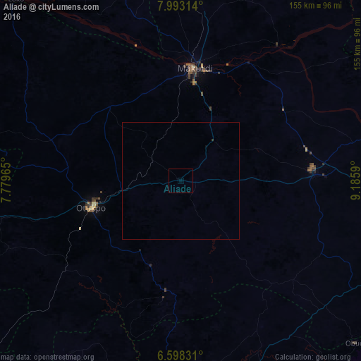
99.95%Clear (daylight) street map image can be seen on geolist.org.
Map coordinates:
7° 59' 35.3" North, 7° 46' 46.7" East
7° 17' 46.6" North, 8° 28' 58" East
6° 35' 53.9" North, 9° 11' 9.2" East
Some cities around Aliade sort by population:
• Makurdi
48.8 km =30.3 mi,  5°
5°
• Ogoja
79.1 km =49.2 mi,  153°
153°
• Igbor
22.1 km =13.7 mi,  38°
38°
• Ugbokpo
77 km =47.8 mi,  301°
301°
• Boju
65.4 km =40.6 mi,  275°
275°
• Ochobo
56.7 km =35.2 mi,  256°
256°
• Yandev
62.2 km =38.6 mi,  83°
83°
• Gakem
81.1 km =50.4 mi,  136°
136°
2350436 (p: 10,292)
Sources (retrieved 2019-11-25):
» Earth at Night: Flat Maps 2012, 2016