Ezza-Ohu night lights from space
Night Light of Ezza-Ohu (Ebonyi) from space (Nigeria) Src. Average luminocity for 10x10km area is 0.0108% and for 50x50km: 1.0881%.
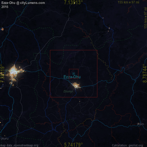
Analysis of Ezza-Ohu night lights 2016
Square area 10x10 km:
 0%
0%90-99
0%80-89
0%70-79
0%60-69
0%50-59
0%40-49
0%30-39
0%20-29
0%10-19
0%0-9
100%Square area 50x50 km:
0.02%90-99
0.15%80-89
0.02%70-79
0.16%60-69
0.18%50-59
0.31%40-49
0.29%30-39
0.21%20-29
0.12%10-19
0.48%0-9
98.06%Clear (daylight) street map image can be seen on geolist.org.
Map coordinates:
7° 8' 20.9" North, 7° 22' 52.3" East
6° 26' 27.4" North, 8° 5' 3.6" East
5° 44' 30.4" North, 8° 47' 14.8" East
Some cities around Ezza-Ohu sort by population:
• Abakaliki
13.3 km =8.3 mi,  165°
165°
• Isieke
8.4 km =5.2 mi,  218°
218°
• Effium
21.3 km =13.2 mi,  352°
352°
• Eha Amufu
43.3 km =26.9 mi,  304°
304°
• Obubra
48.9 km =30.4 mi,  145°
145°
• Amagunze
49.3 km =30.6 mi,  255°
255°
• Mberubu
58.4 km =36.3 mi,  239°
239°
• Ikem
55.6 km =34.5 mi,  312°
312°
2342883 (p: 67,414)
Sources (retrieved 2019-11-25):
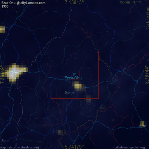
» NASA, Earths city lights 1995
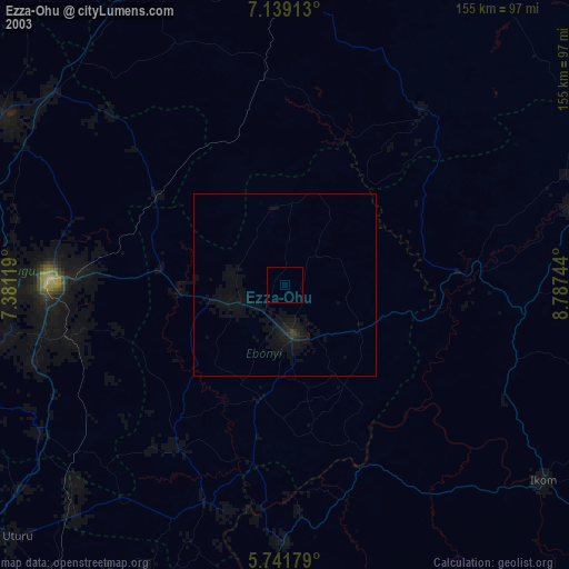
» NASA city lights 2003
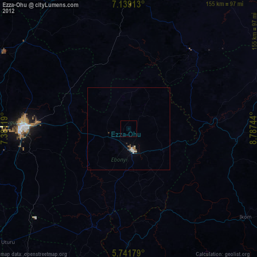
» Earth at Night: Flat Maps 2012, 2016