Ikom night lights from space
Night Light of Ikom (Cross River) from space (Nigeria) Src. Average luminocity for 10x10km area is 0.376% and for 50x50km: 0.0156%.
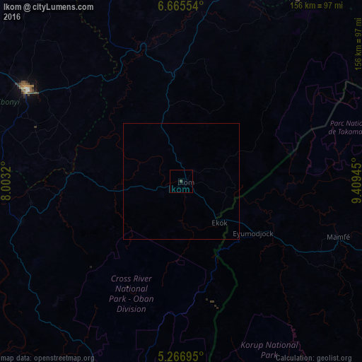
Analysis of Ikom night lights 2016
Square area 10x10 km:
 0%
0%90-99
0%80-89
0%70-79
0%60-69
0%50-59
0%40-49
0.41%30-39
0.41%20-29
0%10-19
0%0-9
99.17%Square area 50x50 km:
0%90-99
0%80-89
0%70-79
0%60-69
0%50-59
0%40-49
0.02%30-39
0.02%20-29
0%10-19
0%0-9
99.97%Clear (daylight) street map image can be seen on geolist.org.
Map coordinates:
6° 39' 55.9" North, 8° 0' 11.5" East
5° 58' 0.1" North, 8° 42' 22.8" East
5° 16' 1" North, 9° 24' 34" East
Some cities around Ikom sort by population:
• Ugep
71.4 km =44.4 mi,  255°
255°
• Abakaliki
76.7 km =47.7 mi,  301°
301°
• Isieke
87.2 km =54.2 mi, 301°
• Afikpo
85.7 km =53.3 mi, 264°
• Ezza-Ohu
86.6 km =53.8 mi,  307°
307°
• Ogoja
77.6 km =48.2 mi,  7°
7°
• Mamfe, CM
71.3 km =44.3 mi,  109°
109°
• Obubra
43.1 km =26.8 mi,  286°
286°
2338242 (p: 79,103)
Sources (retrieved 2019-11-25):
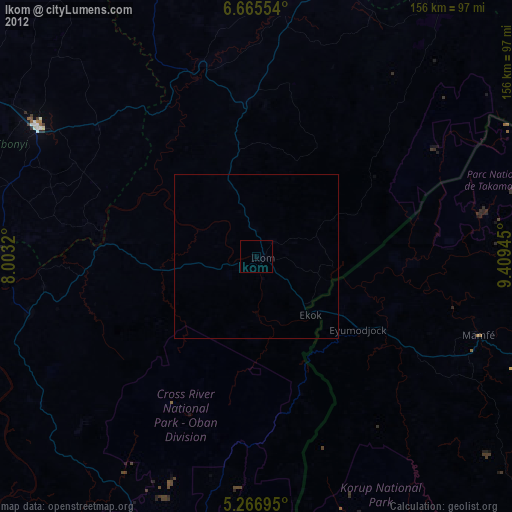
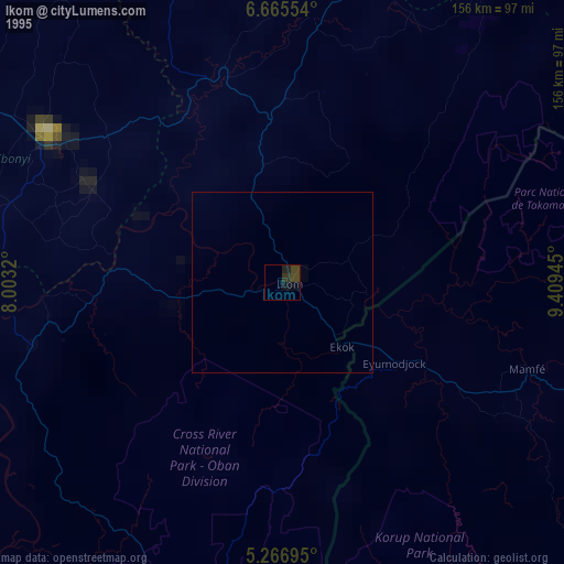
» NASA, Earths city lights 1995
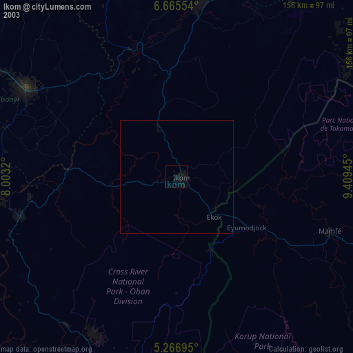
» NASA city lights 2003
» Earth at Night: Flat Maps 2012, 2016