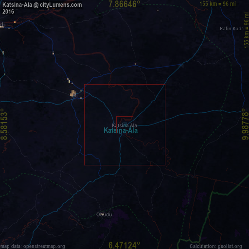
Katsina-Ala night lights from space
Night Light of Katsina-Ala (Benue) from space (Nigeria) Src. Average luminocity for 10x10km area is 0% and for 50x50km: 0.0003%.

Analysis of Katsina-Ala night lights 2016
Square area 10x10 km:
100  0%
0%
90-99 0%
80-89 0%
70-79 0%
60-69 0%
50-59 0%
40-49 0%
30-39 0%
20-29 0%
10-19 0%
0-9 100%
0%90-99
0%80-89
0%70-79
0%60-69
0%50-59
0%40-49
0%30-39
0%20-29
0%10-19
0%0-9
100%Square area 50x50 km:
100 0%
90-99 0%
80-89 0%
70-79 0%
60-69 0%
50-59 0%
40-49 0%
30-39 0%
20-29 0%
10-19 0%
0-9 100%
0%90-99
0%80-89
0%70-79
0%60-69
0%50-59
0%40-49
0%30-39
0%20-29
0%10-19
0%0-9
100%Clear (daylight) street map image can be seen on geolist.org.
Map coordinates:
7° 51' 59.3" North, 8° 34' 53.5" East
7° 10' 9.8" North, 9° 17' 4.7" East
6° 28' 16.5" North, 9° 59' 16" East
Some cities around Katsina-Ala sort by population:
• Ogoja
78.1 km =48.5 mi,  223°
223°
• Takum
77.8 km =48.3 mi,  82°
82°
• Obudu
57.3 km =35.6 mi,  193°
193°
• Igbor
80.9 km =50.3 mi,  292°
292°
• Zaki Biam
51.9 km =32.2 mi,  43°
43°
• Aliade
89.6 km =55.7 mi,  279°
279°
• Yandev
34.3 km =21.3 mi,  308°
308°
• Gakem
55 km =34.2 mi, 216°
2334801 (p: 36,722)
Sources (retrieved 2019-11-25):
» Earth at Night: Flat Maps 2012, 2016