Wum night lights from space
Night Light of Wum (North-West) from space (Cameroon) Src. Average luminocity for 10x10km area is 0% and for 50x50km: 0%.
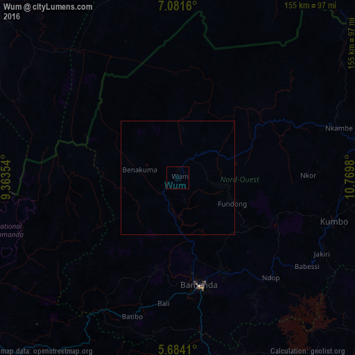
Analysis of Wum night lights 2016
Square area 10x10 km:
 0%
0%90-99
0%80-89
0%70-79
0%60-69
0%50-59
0%40-49
0%30-39
0%20-29
0%10-19
0%0-9
100%Square area 50x50 km:
0%90-99
0%80-89
0%70-79
0%60-69
0%50-59
0%40-49
0%30-39
0%20-29
0%10-19
0%0-9
100%Clear (daylight) street map image can be seen on geolist.org.
Map coordinates:
7° 4' 53.8" North, 9° 21' 48.7" East
6° 22' 60" North, 10° 4' 0" East
5° 41' 2.8" North, 10° 46' 11.3" East
Some cities around Wum sort by population:
• Bamenda
47.9 km =29.8 mi,  169°
169°
• Bali
55.5 km =34.5 mi,  186°
186°
• Fundong
26.6 km =16.5 mi,  123°
123°
• Babanki
35.9 km =22.3 mi,  145°
145°
• Mbengwi
41.4 km =25.7 mi, 190°
• Belo
34.4 km =21.4 mi,  143°
143°
• Njinikom
29.2 km =18.1 mi, 124°
• Mme-Bafumen
19.2 km =11.9 mi,  106°
106°
2221053 (p: 68,836)
Sources (retrieved 2019-11-25):
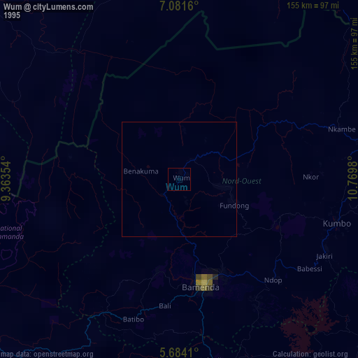
» NASA, Earths city lights 1995
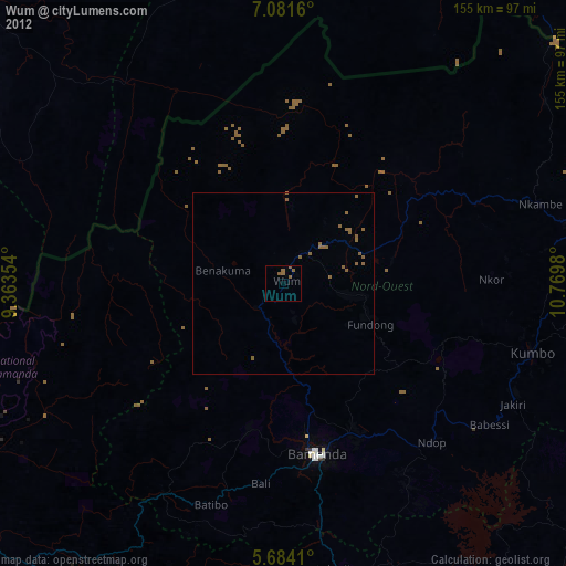
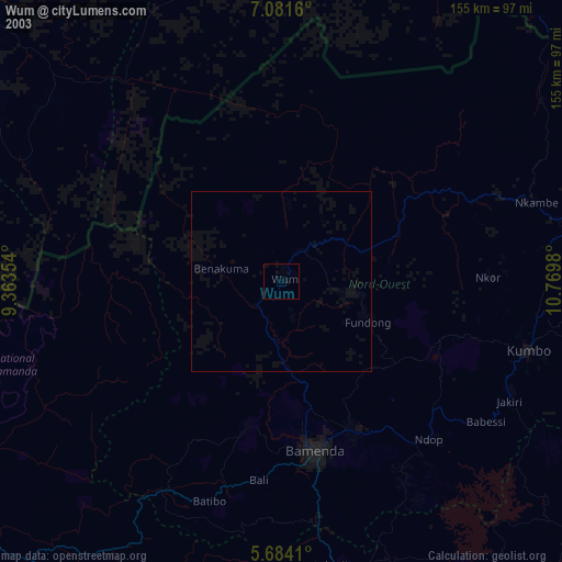
» NASA city lights 2003
» Earth at Night: Flat Maps 2012, 2016