Mamfe night lights from space
Night Light of Mamfe (South-West) from space (Cameroon) Src. Average luminocity for 10x10km area is 0% and for 50x50km: 0.0069%.
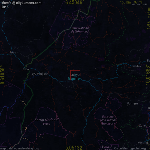
Analysis of Mamfe night lights 2016
Square area 10x10 km:
100  0%
0%
90-99 0%
80-89 0%
70-79 0%
60-69 0%
50-59 0%
40-49 0%
30-39 0%
20-29 0%
10-19 0%
0-9 100%
0%90-99
0%80-89
0%70-79
0%60-69
0%50-59
0%40-49
0%30-39
0%20-29
0%10-19
0%0-9
100%Square area 50x50 km:
100 0%
90-99 0%
80-89 0%
70-79 0%
60-69 0%
50-59 0%
40-49 0%
30-39 0%
20-29 0%
10-19 0.03%
0-9 99.97%
0%90-99
0%80-89
0%70-79
0%60-69
0%50-59
0%40-49
0%30-39
0%20-29
0%10-19
0.03%0-9
99.97%Clear (daylight) street map image can be seen on geolist.org.
Map coordinates:
6° 27' 1.7" North, 8° 36' 38.1" East
5° 45' 4.8" North, 9° 18' 49.3" East
5° 3' 4.8" North, 10° 1' 0.6" East
Some cities around Mamfe sort by population:
• Bamenda
94.9 km =59 mi,  75°
75°
• Dschang
88.7 km =55.1 mi,  112°
112°
• Ikom, NG
71.3 km =44.3 mi,  289°
289°
• Bali
78.7 km =48.9 mi, 78°
• Fontem
70.3 km =43.7 mi,  116°
116°
• Mbengwi
81.4 km =50.6 mi,  68°
68°
• Batibo
60.6 km =37.7 mi, 81°
• Nguti
48.3 km =30 mi,  166°
166°
2228675 (p: 19,472)
Sources (retrieved 2019-11-25):
» Earth at Night: Flat Maps 2012, 2016