Mubi night lights from space
Night Light of Mubi (Adamawa) from space (Nigeria) Src. Average luminocity for 10x10km area is 1.595% and for 50x50km: 0.065%.
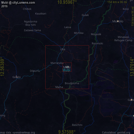

Analysis of Mubi night lights 2016
Square area 10x10 km:
 0%
0%90-99
0%80-89
0%70-79
0%60-69
0%50-59
0%40-49
0%30-39
3.72%20-29
0.41%10-19
0%0-9
95.87%Square area 50x50 km:
0%90-99
0%80-89
0%70-79
0%60-69
0%50-59
0%40-49
0%30-39
0.15%20-29
0.02%10-19
0%0-9
99.83%Clear (daylight) street map image can be seen on geolist.org.
Map coordinates:
10° 57' 34.8" North, 12° 33' 50" East
10° 16' 6.9" North, 13° 16' 1.2" East
9° 34' 33.5" North, 13° 58' 12.5" East
Some cities around Mubi sort by population:
• Mokolo, CM
78.7 km =48.9 mi,  48°
48°
• Guider, CM
83.2 km =51.7 mi,  116°
116°
• Gombi
59.1 km =36.7 mi,  259°
259°
• Gwoza
102 km =63.4 mi,  27°
27°
• Madagali
79.5 km =49.4 mi, 29°
• Uba
21.3 km =13.2 mi,  346°
346°
• Pitoa, CM
101.7 km =63.2 mi,  165°
165°
• Holma
47.3 km =29.4 mi,  209°
209°
2329821 (p: 225,705)
Sources (retrieved 2019-11-25):
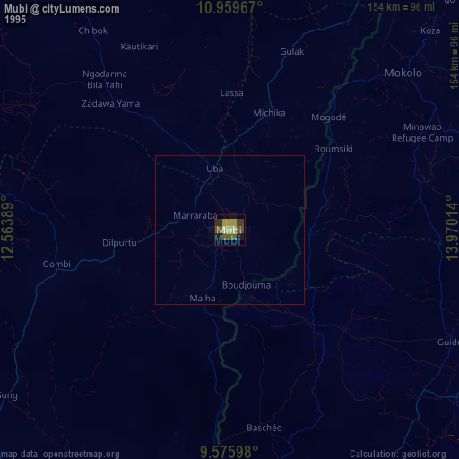
» NASA, Earths city lights 1995
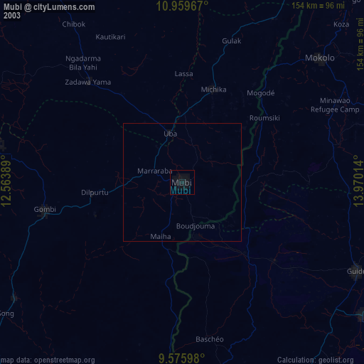
» NASA city lights 2003
» Earth at Night: Flat Maps 2012, 2016