Uba night lights from space
Night Light of Uba (Borno) from space (Nigeria) Src. Average luminocity for 10x10km area is 0% and for 50x50km: 0.065%.
Analysis of Uba night lights 2016
Square area 10x10 km:
100  0%
0%
90-99 0%
80-89 0%
70-79 0%
60-69 0%
50-59 0%
40-49 0%
30-39 0%
20-29 0%
10-19 0%
0-9 100%
0%90-99
0%80-89
0%70-79
0%60-69
0%50-59
0%40-49
0%30-39
0%20-29
0%10-19
0%0-9
100%Square area 50x50 km:
100 0%
90-99 0%
80-89 0%
70-79 0%
60-69 0%
50-59 0%
40-49 0%
30-39 0.15%
20-29 0.02%
10-19 0%
0-9 99.83%
0%90-99
0%80-89
0%70-79
0%60-69
0%50-59
0%40-49
0%30-39
0.15%20-29
0.02%10-19
0%0-9
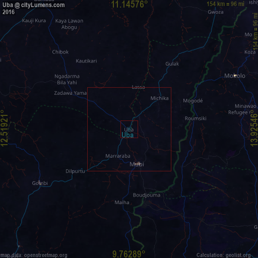
99.83%Clear (daylight) street map image can be seen on geolist.org.
Map coordinates:
11° 8' 44.7" North, 12° 31' 9.2" East
10° 27' 18.3" North, 13° 13' 20.4" East
9° 45' 46.4" North, 13° 55' 31.7" East
Some cities around Uba sort by population:
• Mokolo, CM
71 km =44.1 mi,  63°
63°
• Mubi
21.3 km =13.2 mi,  166°
166°
• Damboa
93 km =57.8 mi,  326°
326°
• Gombi
62 km =38.5 mi,  238°
238°
• Gwoza
86.9 km =54 mi,  36°
36°
• Madagali
65.6 km =40.8 mi, 42°
• Holma
64.5 km =40.1 mi,  196°
196°
• Tokombere
90 km =55.9 mi,  18°
18°
2321057 (p: 11,648)
Sources (retrieved 2019-11-25):
» Earth at Night: Flat Maps 2012, 2016