Madagali night lights from space
Night Light of Madagali (Adamawa) from space (Nigeria) Src. Average luminocity for 10x10km area is 0% and for 50x50km: 0.0585%.
Analysis of Madagali night lights 2016
Square area 10x10 km:
 0%
0%90-99
0%80-89
0%70-79
0%60-69
0%50-59
0%40-49
0%30-39
0%20-29
0%10-19
0%0-9
100%Square area 50x50 km:
0%90-99
0%80-89
0.03%70-79
0.01%60-69
0%50-59
0.03%40-49
0%30-39
0%20-29
0%10-19
0.03%0-9
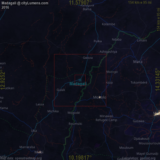
99.9%Clear (daylight) street map image can be seen on geolist.org.
Map coordinates:
11° 34' 44.7" North, 12° 55' 30.7" East
10° 53' 21.9" North, 13° 37' 42" East
10° 11' 53.4" North, 14° 19' 53.2" East
Some cities around Madagali sort by population:
• Maroua, CM
82.1 km =51 mi,  113°
113°
• Mokolo, CM
25.1 km =15.6 mi,  130°
130°
• Mubi
79.5 km =49.4 mi,  209°
209°
• Bama
70.6 km =43.9 mi,  5°
5°
• Mora, CM
58.5 km =36.4 mi,  72°
72°
• Gwoza
22.8 km =14.2 mi,  18°
18°
• Uba
65.6 km =40.8 mi,  222°
222°
• Tokombere
40 km =24.9 mi,  337°
337°
2331715 (p: 12,919)
Sources (retrieved 2019-11-25):
» Earth at Night: Flat Maps 2012, 2016