Mokolo night lights from space
Night Light of Mokolo (Far North) from space (Cameroon) Src. Average luminocity for 10x10km area is 1.4215% and for 50x50km: 0.0579%.
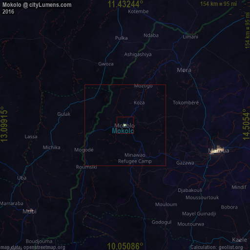
Analysis of Mokolo night lights 2016
Square area 10x10 km:
 0%
0%90-99
0%80-89
0.62%70-79
0.21%60-69
0%50-59
0.83%40-49
0%30-39
0%20-29
0%10-19
0.83%0-9
97.52%Square area 50x50 km:
0%90-99
0%80-89
0.03%70-79
0.01%60-69
0%50-59
0.03%40-49
0%30-39
0%20-29
0%10-19
0.03%0-9
99.9%Clear (daylight) street map image can be seen on geolist.org.
Map coordinates:
11° 25' 56.8" North, 13° 5' 56.9" East
10° 44' 32.8" North, 13° 48' 8.2" East
10° 3' 3.1" North, 14° 30' 19.4" East
Some cities around Mokolo sort by population:
• Maroua
58.6 km =36.4 mi,  106°
106°
• Mubi, NG
78.7 km =48.9 mi,  228°
228°
• Mora
50 km =31.1 mi,  47°
47°
• Gwoza, NG
39.6 km =24.6 mi,  342°
342°
• Madagali, NG
25.1 km =15.6 mi,  310°
310°
• Uba, NG
71 km =44.1 mi,  243°
243°
• Mindif
79.2 km =49.2 mi,  118°
118°
• Tokombere, NG
63.4 km =39.4 mi,  327°
327°
2226275 (p: 275,239)
Sources (retrieved 2019-11-25):
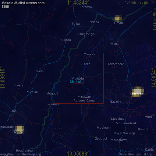
» NASA, Earths city lights 1995
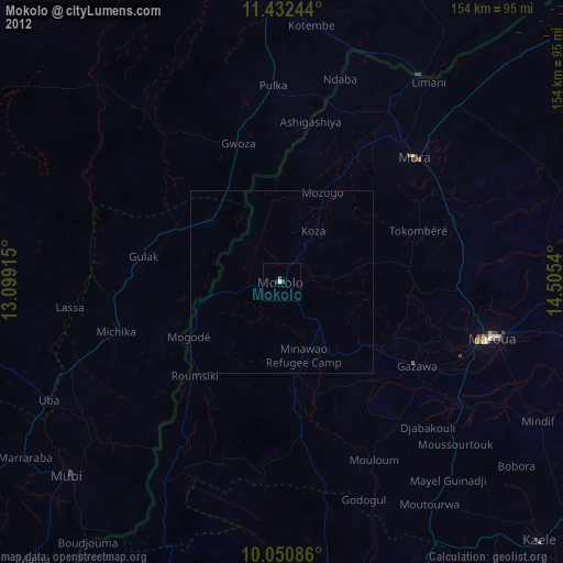
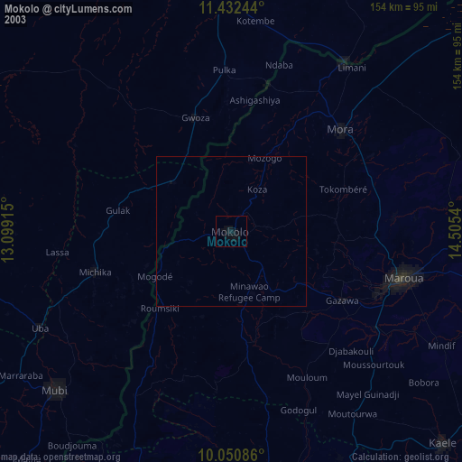
» NASA city lights 2003
» Earth at Night: Flat Maps 2012, 2016