Gombi night lights from space
Night Light of Gombi (Adamawa) from space (Nigeria) Src. Average luminocity for 10x10km area is 0.8781% and for 50x50km: 0.0358%.
Analysis of Gombi night lights 2016
Square area 10x10 km:
100  0%
0%
90-99 0%
80-89 0%
70-79 0%
60-69 0%
50-59 0%
40-49 0%
30-39 1.24%
20-29 1.24%
10-19 0%
0-9 97.52%
0%90-99
0%80-89
0%70-79
0%60-69
0%50-59
0%40-49
0%30-39
1.24%20-29
1.24%10-19
0%0-9
97.52%Square area 50x50 km:
100 0%
90-99 0%
80-89 0%
70-79 0%
60-69 0%
50-59 0%
40-49 0%
30-39 0.05%
20-29 0.05%
10-19 0%
0-9 99.9%
0%90-99
0%80-89
0%70-79
0%60-69
0%50-59
0%40-49
0%30-39
0.05%20-29
0.05%10-19
0%0-9
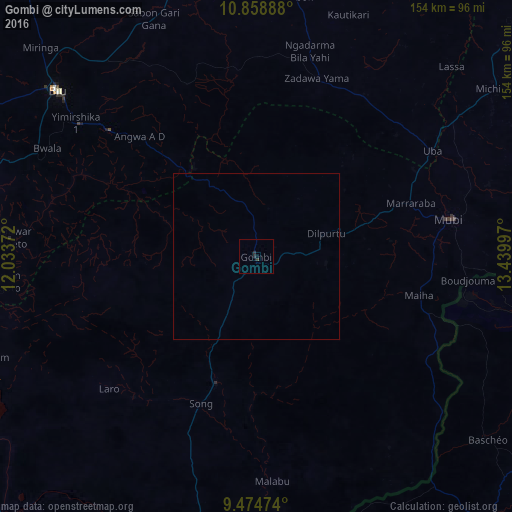
99.9%Clear (daylight) street map image can be seen on geolist.org.
Map coordinates:
10° 51' 32" North, 12° 2' 1.4" East
10° 10' 3.2" North, 12° 44' 12.6" East
9° 28' 29.1" North, 13° 26' 23.9" East
Some cities around Gombi sort by population:
• Jimeta
103.4 km =64.2 mi,  197°
197°
• Mubi
59.1 km =36.7 mi,  79°
79°
• Biu
77.3 km =48 mi,  309°
309°
• Shani
74.2 km =46.1 mi,  274°
274°
• Miringa
90 km =55.9 mi, 314°
• Uba
62 km =38.5 mi,  58°
58°
• Holma
45.9 km =28.5 mi,  130°
130°
• Shaffa
58.1 km =36.1 mi, 310°
2340446 (p: 19,616)
Sources (retrieved 2019-11-25):
» Earth at Night: Flat Maps 2012, 2016