Guider night lights from space
Night Light of Guider (North) from space (Cameroon) Src. Average luminocity for 10x10km area is 1.7107% and for 50x50km: 0.1133%.
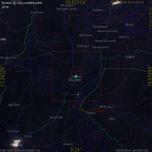
Analysis of Guider night lights 2016
Square area 10x10 km:
 0%
0%90-99
0%80-89
0%70-79
0.41%60-69
1.24%50-59
0%40-49
0%30-39
1.03%20-29
0.62%10-19
0%0-9
96.69%Square area 50x50 km:
0%90-99
0%80-89
0%70-79
0.05%60-69
0.05%50-59
0%40-49
0%30-39
0.08%20-29
0.03%10-19
0%0-9
99.8%Clear (daylight) street map image can be seen on geolist.org.
Map coordinates:
10° 37' 30.5" North, 13° 14' 36.9" East
9° 55' 59.9" North, 13° 56' 48.2" East
9° 14' 24" North, 14° 38' 59.4" East
Some cities around Guider sort by population:
• Garoua
92.5 km =57.5 mi,  220°
220°
• Maroua
83.5 km =51.9 mi,  28°
28°
• Mokolo
91.3 km =56.7 mi,  350°
350°
• Mubi, NG
83.2 km =51.7 mi,  296°
296°
• Kaélé
58.6 km =36.4 mi,  70°
70°
• Mboursou Léré, TD
29.5 km =18.3 mi,  129°
129°
• Pitoa
78.1 km =48.5 mi, 218°
• Mindif
74.4 km =46.2 mi,  46°
46°
2230876 (p: 84,647)
Sources (retrieved 2019-11-25):
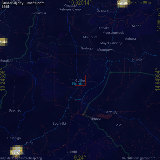
» NASA, Earths city lights 1995
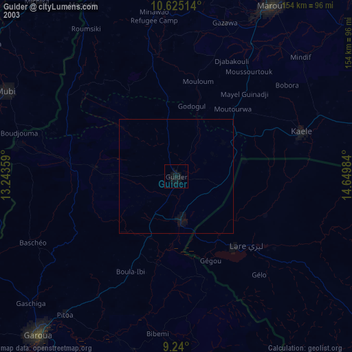
» NASA city lights 2003
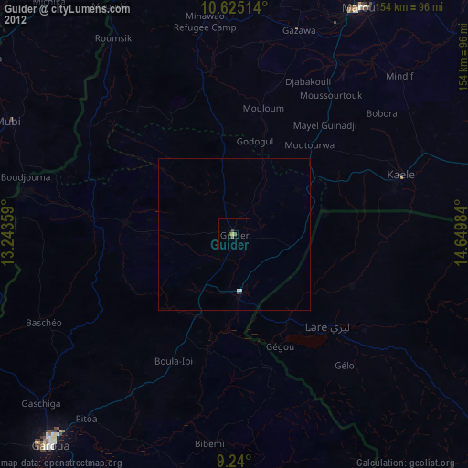
» Earth at Night: Flat Maps 2012, 2016