Pitoa night lights from space
Night Light of Pitoa (North) from space (Cameroon) Src. Average luminocity for 10x10km area is 0.0931% and for 50x50km: 1.8261%.
Analysis of Pitoa night lights 2016
Square area 10x10 km:
 0%
0%90-99
0%80-89
0%70-79
0%60-69
0%50-59
0%40-49
0%30-39
0%20-29
0%10-19
0%0-9
100%Square area 50x50 km:
0.22%90-99
0.59%80-89
0.03%70-79
0.2%60-69
0.11%50-59
0.07%40-49
0.29%30-39
0.19%20-29
0.19%10-19
2.01%0-9
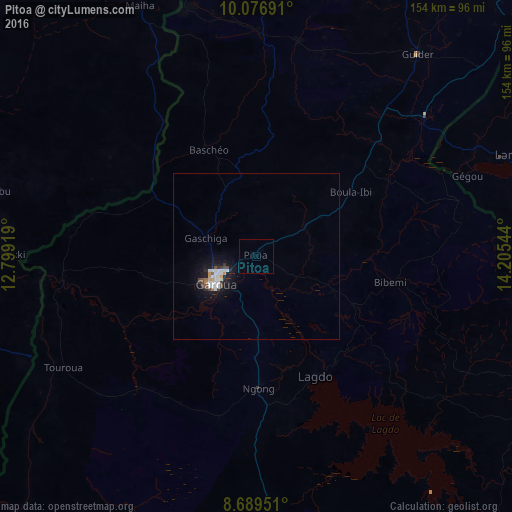
96.11%Clear (daylight) street map image can be seen on geolist.org.
Map coordinates:
10° 4' 36.9" North, 12° 47' 57.1" East
9° 23' 2" North, 13° 30' 8.3" East
8° 41' 22.2" North, 14° 12' 19.6" East
Some cities around Pitoa sort by population:
• Garoua
14.7 km =9.1 mi,  231°
231°
• Mubi, NG
101.7 km =63.2 mi,  345°
345°
• Guider
78.1 km =48.5 mi,  38°
38°
• Lagdo
40.4 km =25.1 mi,  153°
153°
• Mboursou Léré, TD
83 km =51.6 mi,  59°
59°
• Rey Bouba
108.5 km =67.4 mi,  136°
136°
• Holma, NG
75.4 km =46.9 mi,  319°
319°
• Poli
105 km =65.2 mi,  195°
195°
2222568 (p: 11,454)
Sources (retrieved 2019-11-25):
» Earth at Night: Flat Maps 2012, 2016